What is recorded here
On promontory extending into Farranamanagh Lough. Local tradition of underground chambers; now filled in. No visible surface trace.
From the National Monuments Service (Archaeological Survey of Ireland) record CO129-009
The monument record does not grant public access. Check the route and ask the landowner before entering private land.
- What survives
- Recorded monument
Places near here
Photo credits
- Andrew Wood, Wikimedia Commons · CC BY-SA 2.0
- National Inventory of Architectural Heritage
- MrCorman, Wikimedia Commons · CC BY-SA 4.0
- Colin Park, Geograph · CC BY-SA 2.0
- N Chadwick, Geograph · CC BY-SA 2.0
- Hywel Williams, Wikimedia Commons · CC BY-SA 2.0
Farranamanagh Loop WalkWalking route · 561 ydIndicatedFairy fort / stone ringfort · 714 ydNora DaltonMemorial · 882 yd Stone RowHeritage attraction · 931 ydBridge View HouseHouse · 1019 ydOur Lady Star of the Sea Roman Catholic ChurchChurch/chapel · 1095 ydSeefinMountain / peak · 1.3 miSeefinViewpoint · 1.4 miFinn McCool's SeatViewpoint · 1.4 miRosskerrig MountainMountain / peak · 1.5 miMass RockMemorial · 1.7 miMegalithic TombMonument · 1.7 mi
 Stone RowHeritage attraction · 931 yd
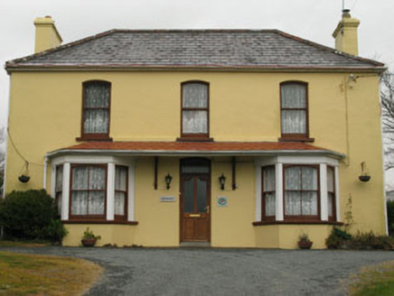 Bridge View HouseHouse · 1019 yd
 Our Lady Star of the Sea Roman Catholic ChurchChurch/chapel · 1095 yd
 SeefinMountain / peak · 1.3 mi
 SeefinViewpoint · 1.4 mi
 Finn McCool's SeatViewpoint · 1.4 mi
 Rosskerrig MountainMountain / peak · 1.5 mi
 Mass RockMemorial · 1.7 mi
 Megalithic TombMonument · 1.7 mi
More archaeology and monuments in County Cork · All of County Cork
What do you know about this place?