What is recorded here
In pasture, close to shore, N side of Dunmanus Bay. Circular area (24.6m N-S; 24m E-W) enclosed by stone wall (H 1.9m). Large boulders used in wall-facing; core filled with smaller stones. Break in wall to NNW (Wth 2.25m). Interior planted with daffodils.
From the National Monuments Service (Archaeological Survey of Ireland) record CO138-016
The monument record does not grant public access. Check the route and ask the landowner before entering private land.
- What survives
- Recorded monument
Places near here
Photo credits
- National Inventory of Architectural Heritage
- Andrew Wood, Wikimedia Commons · CC BY-SA 2.0
- N Chadwick, Geograph · CC BY-SA 2.0
- Colin Park, Geograph · CC BY-SA 2.0
- Hywel Williams, Wikimedia Commons · CC BY-SA 2.0
- Andreas F. Borchert, Wikimedia Commons · CC BY-SA 4.0
- Gordon Hatton, Geograph · CC BY-SA 2.0
Nora DaltonMemorial · 250 yd Bridge View HouseHouse · 704 ydwater pump710 ydStone RowHeritage attraction · 1213 ydSeefinViewpoint · 1.4 miFinn McCool's SeatViewpoint · 1.4 miSeefinMountain / peak · 1.5 miMegalithic TombMonument · 1.5 miMass RockMemorial · 1.6 miDunmanus BayBay · 1.9 miRosskerrig MountainMountain / peak · 1.9 miPeakeen Ridge Loop WalkWalking route · 1.9 mi
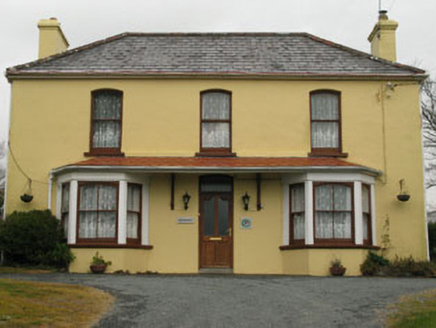 Bridge View HouseHouse · 704 yd
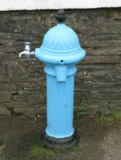 water pump710 yd
 Stone RowHeritage attraction · 1213 yd
 SeefinViewpoint · 1.4 mi
 Finn McCool's SeatViewpoint · 1.4 mi
 SeefinMountain / peak · 1.5 mi
 Megalithic TombMonument · 1.5 mi
 Mass RockMemorial · 1.6 mi
 Dunmanus BayBay · 1.9 mi
 Rosskerrig MountainMountain / peak · 1.9 mi
 Peakeen Ridge Loop WalkWalking route · 1.9 mi
More archaeology and monuments in County Cork · All of County Cork
What do you know about this place?