What is recorded here
Ten roof-slabs still bridge a narrow passage cut through the wall of Illauntannig, where Early Christian people placed a chamber inside the cashel itself. The floor dips halfway before rising again, as if the earth exhaled instead of simply holding weight. That shape suggests the passage was lived with, not forgotten: entered deliberately, walked in darkness, and used until the stones wore smooth.
National Monument No. 67. Illauntannig is the largest of the Magharee Islands which lie off the N tip of the peninsula that separates Brandon Bay and Tralee Bay. The Early Christian settlement KE019-002001- is enclosed by a strong cashel wall and is comprised of 2 small oratories, 3 bee-hive huts, a Man-made underground passage and wall-chamber, 3 leachts, a burial ground and a stone cross. Three cross-slabs, a bullaun stone, a hand-bell and fragments of 5 quern-stones have also been discovered within the enclosure and a 2nd bullaun stone lies at the edge of the sea about 100m to S. The hut-site, old field walls and reputed cross-inscribed boulder on Reennafardarrig may also be related to this early settlement.
Wall-chamber and Man-made underground passage (KE019-002004-): The wall-chamber contained within the thickness of the wall at W is linked to clochaun B by a straight Man-made underground passage passage. The chamber is 11m long, c. 1.7m wide and 1.1m high but now lacks its roof. An inward projection of the E wall houses the lintelled entrance to the Man-made underground passage. There is a step down of .5m from the chamber floor to that of the passage and the latter continues to slope gently downwards towards its mid-point and then gradually rises again towards the entrance at the base of the clochaun wall. The passage is 1.4m high at its W end but the first 5 roof-slabs step downwards and the remainder of the passage averages .8m in height. The last couple of roof-slabs at the E end also step downwards from the entrance. The passage is of drystone construction and measures c. 10.75m in length and c. 0.85m in width. The chamber also appears to have been accessible from the interior of the enclosure through an entrance directly S of the Man-made underground passage.
The above description is derived from J. Cuppage, ‘Corca Dhuibhne. Dingle Peninsula archaeological survey. Ballyferriter. Oidhreacht Chorca Dhuibhne’ (1986), no. 843. In certain instances the entries have been revised and updated in the light of recent research.
Date of upload: 8 August 2013
The monument record does not grant public access. Check the route and ask the landowner before entering private land.
- What survives
- Recorded monument
Places near here
 CrossCross, High cross · 29 yd
 IllauntannigIslet · 202 yd
 IllaunboeIslet · 703 yd
 Rough PointHeadland · 1181 yd
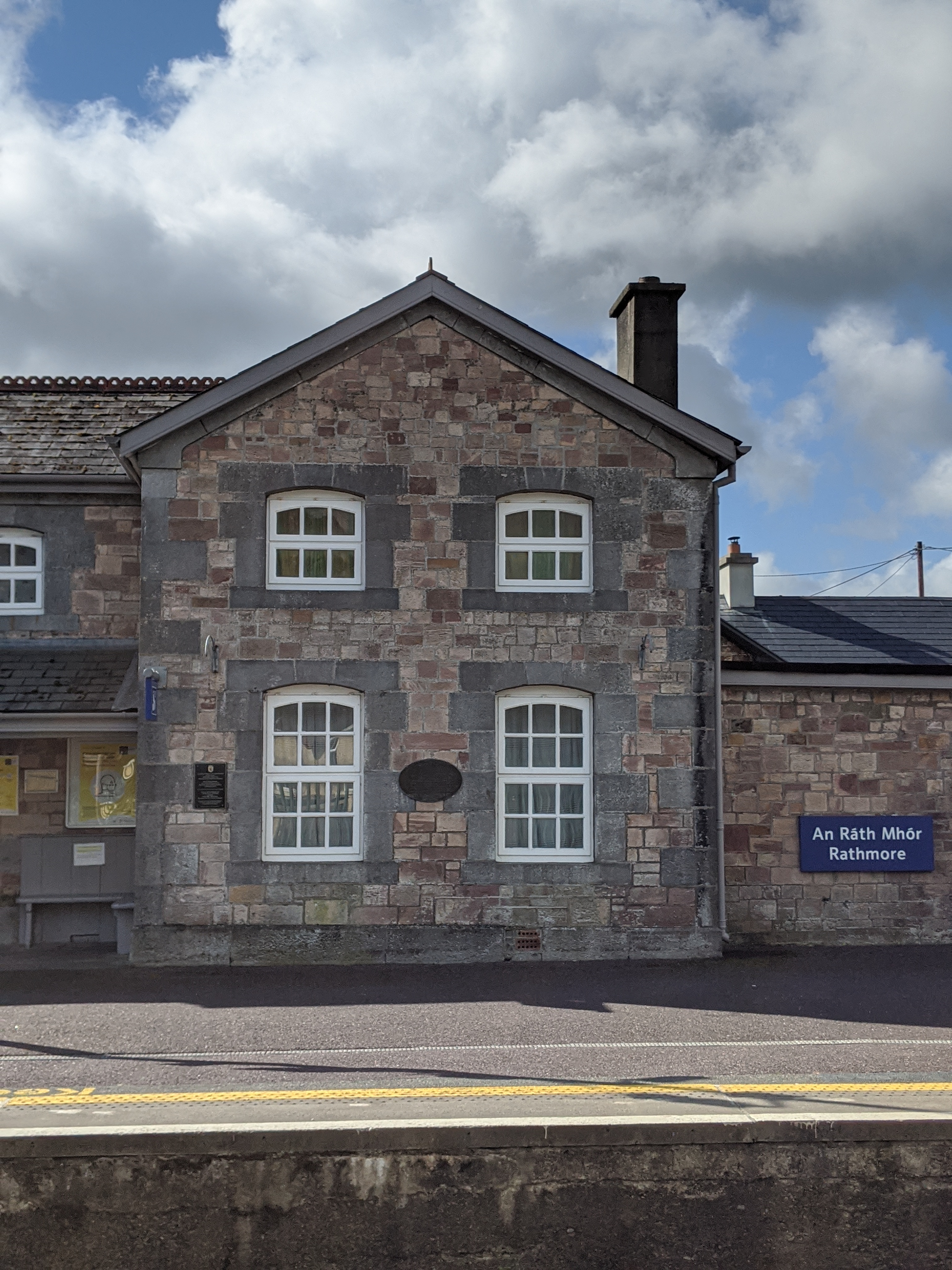 Penitential station in KilshannigPenitential station · 1700 yd
 BallycurraneHeritage attraction · 1717 yd
 Kilshannig Point Signal TowerRuins · 1741 yd
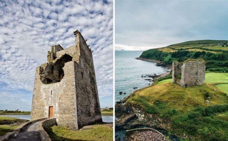 CastleCastle, unclassified · 1.8 mi
 An CaipínNamed rock · 2.1 mi
 Sandy Bay BeachBeach / strand · 3.2 mi
 Fermoyle BeachBeach / strand · 4.6 mi
 Man-made underground passage in CastlegregoryMan-made underground passage · 4.6 mi