What is recorded here
Medieval builders in County Louth cut a two-level stone maze beneath a private garden, forcing people either to climb into a beehive chamber or drop through a shelved hole into a longer passing gallery. Shells, animal bones and flint still lie scattered where hands once moved through darkness. The passage may continue beneath Seafield Road, preserving a buried route that modern traffic now forgets.
Discovered in the garden of a residential house during building and landscaping work. The upper passage which runs in an E-W direction for 3.5m was initially exposed but all the lintels were missing. At the end of this passage is a small beehive chamber (diam. c. 1.25m; H 1.5m) and a drop-home entrance into a lower chamber with a shelf on three sides surrounding the drop hole. The lower passage (L 7m, H c. 1.2m) initially runs in an E-W direction before turned slightly S and tapering out to form a second chamber (diam 1.65m, H 1.4m). Drystone built from random local stone. Animal bones, shells and six pieces of flint were recovered from the structure. Not possible to examine the full extent of the structure, but it is believed to extend under the present Seafield Road. (McKeown, CLAJ 2003, 275-9).
Compiled by: Claire Breen
Date of upload: 4 May 2012
The monument record does not grant public access. Check the route and ask the landowner before entering private land.
- What survives
- Recorded monument
Places near here
 IndicatedCastle, unclassified · 554 yd
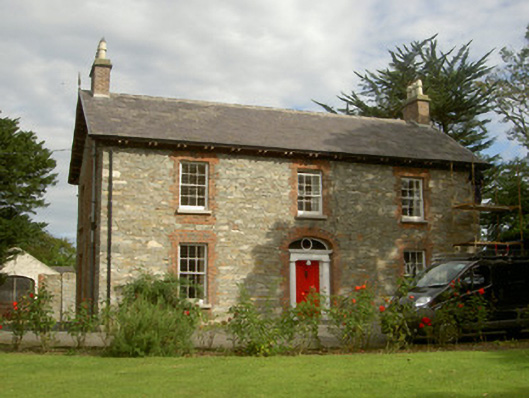 Seafield Househouse · 566 yd
 Church (in Ruins)Church · 570 yd
 CastleCastle, unclassified · 653 yd
 SundialMonument · 1280 yd
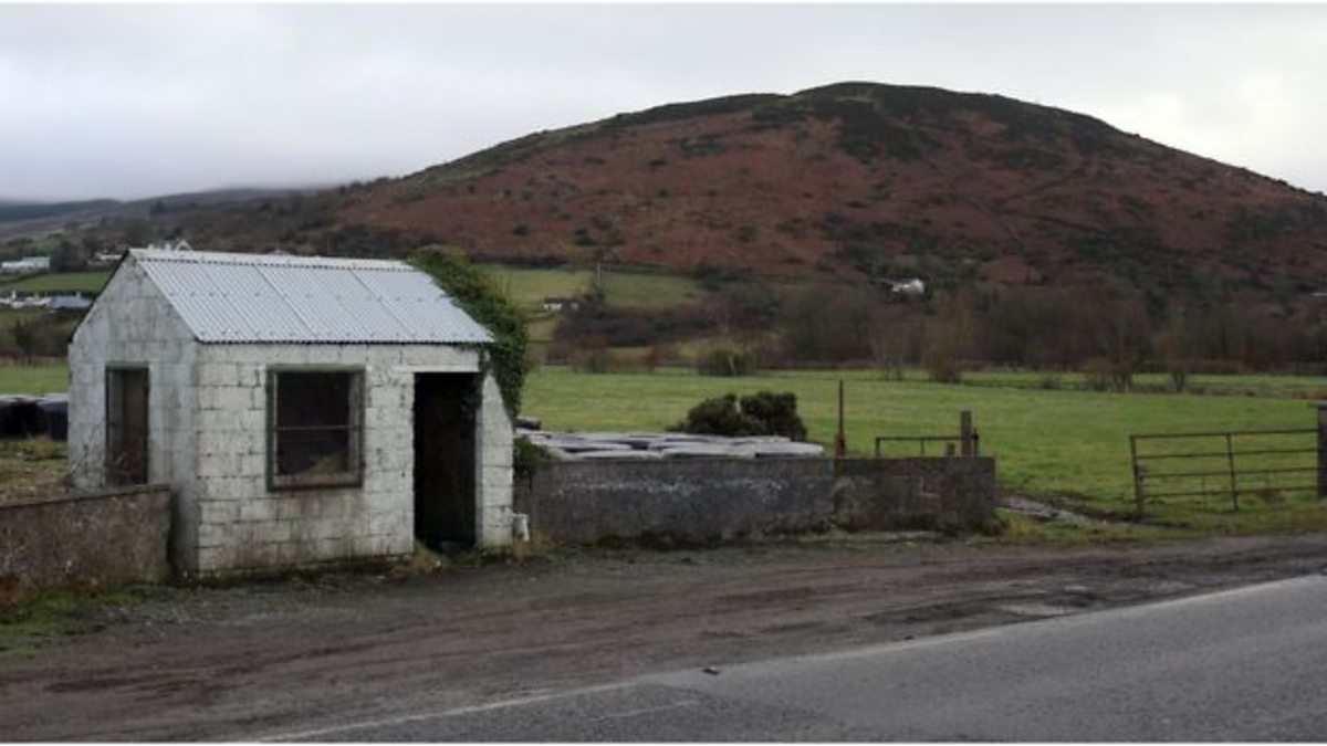 Enclosure in HaggardstownEnclosure · 1481 yd
 Broad WoodForest · 1589 yd
 Long WoodForest · 1.0 mi
 BallybarrackMountain / peak · 2.3 mi
 Photo GalleryHeritage attraction · 2.9 mi
 Louth County MuseumMuseum · 2.9 mi
 Bombing 1975Memorial · 2.9 mi