What is recorded here
Under a Haggardstown ringfort, a stone throat stretches twenty-one metres before collapsing into darkness. Men building above broke its capstones and nearly erased the chamber below. What remains is a drystone angle, sharp as a knife, waiting for someone brave enough to walk it.
Situated below ringfort (LH012-069001-). Discovered as a result of land reduction for a development (Excavation Licence No. 95E0126). Prior to the arrival of an archaeologist on site, the capstones had been disturbed causing it to collapse in on itself. A passageway ran E-W for 10m, then it turned S and continued for 11m leading to a collapsed chamber. The walls of the passage were of drystone construction using shale and slate. (McConway 1995b)
Compiled by: Claire Breen
Date of upload: 19 April 2012
The monument record does not grant public access. Check the route and ask the landowner before entering private land.
- What survives
- Recorded monument
Places near here
 Saint Oliver Plunkett's Catholic Churchchurch/chapel · 475 yd
 Church (in Ruins)Church · 537 yd
 SundialMonument · 551 yd
 IndicatedCastle, unclassified · 679 yd
 CastleCastle, unclassified · 927 yd
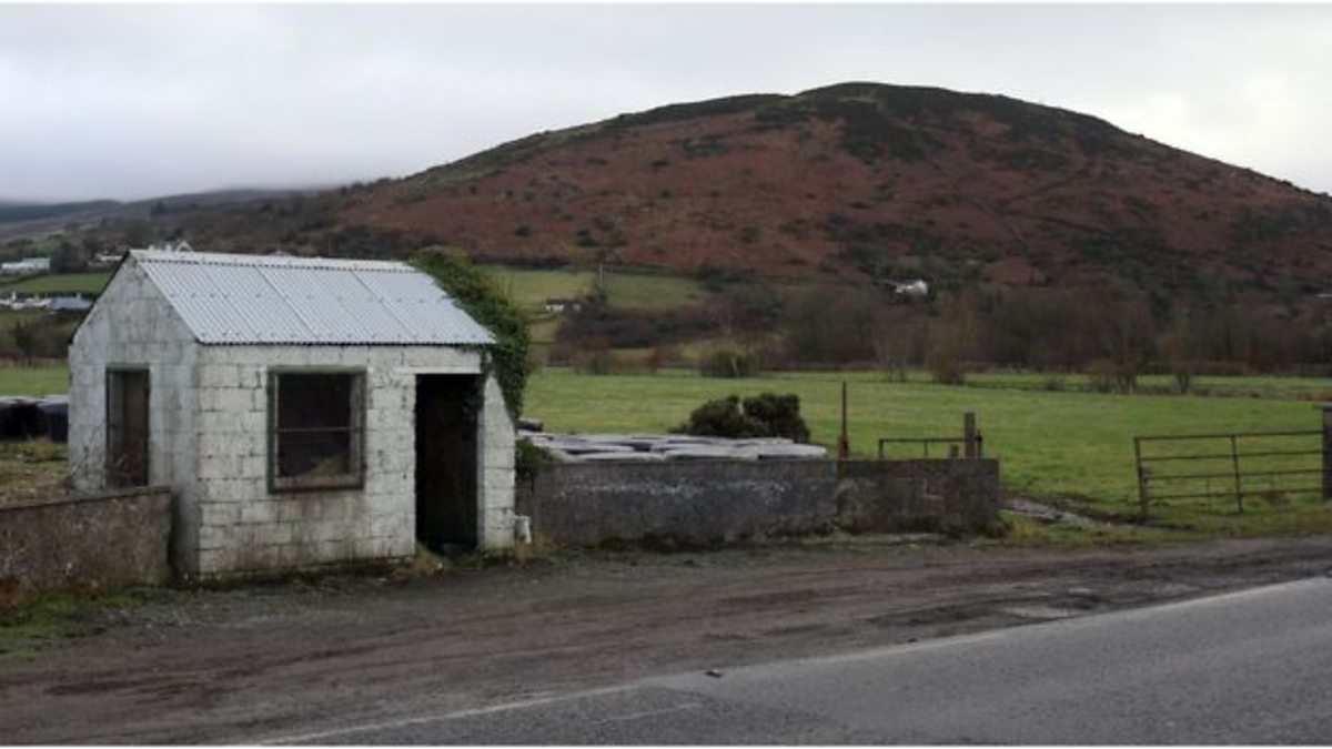 Enclosure in HaggardstownEnclosure · 1708 yd
 Broad WoodForest · 1.4 mi
 Long WoodForest · 1.5 mi
 Louth County MuseumMuseum · 2.9 mi
 Bombing 1975Memorial · 2.9 mi
 Maid of ErinMemorial · 3.0 mi
 Photo GalleryHeritage attraction · 3.0 mi