
What is recorded here
Stone steps led down into a slab-roofed passage beneath the southern half of the Gortnaboul Lower rath, but the entrance is now closed. The landowner recalled the descent before safety measures buried the mystery again. What lived or hid in that dark kitchen of the earth remains unknown, waiting patiently under the grass for someone brave enough to ask.
In a rath (KE084-009----). According to the landowner, there was an entrance to an underground passage in the S half of the rath. The landowner recalls stone steps leading down into a passage which was roofed with stone slabs. As a safety measure, the entrance was closed in the recent past. There are no visible remains of this Man-made underground passage.
The above description is derived from the published 'Archaeological Inventory of County Kerry. Volume I: South-West Kerry' (Dublin: Stationery Office, 2009). In certain instances the entries have been revised and updated in the light of recent research.
Date of upload: 30 May 2011
This remains an important historical record, but the official description says the monument is no longer visible or has been destroyed. The monument record does not grant public access. Check the route and ask the landowner before entering private land.
- What survives
- No visible remains or recorded as destroyed
Places near here
 Enclosure in Istalea UpperEnclosure · 708 yd
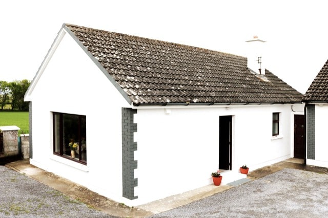 Hut site in CummeenboyHut site · 861 yd
 CoombaneMountain / peak · 1175 yd
 KnockanaguishMountain / peak · 1256 yd
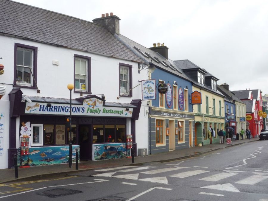 Sahaleen Br.Bridge · 2.3 mi
 Shanagarry Castle (Site of)Castle, unclassified · 2.4 mi
 Parkcormick Br.Bridge · 2.5 mi
 ruined castleCastle · 3.0 mi
 The Lodge WoodWood · 3.1 mi
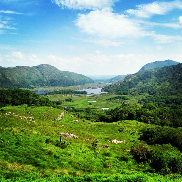 Ladies ViewViewpoint · 3.2 mi
 Derrycunihy Nature ReserveNature reserve · 3.2 mi
 Kenmare Tourist Information OfficeVisitor information · 3.3 mi
Other information
Photo: Credit not shown in the picture search · Rights wording not checked; contact us if this picture should be removed