What is recorded here
Located in the SW quadrant of rath (ME009-011001-). A shallow passage (Wth of top 2.2m; Wth of base 1.1m; max. D 0.6m) inside the edge of the rath at W extends SE (L 10.25m) from the field bank dividing the rath in two, and turns E (L 6.5m) before terminating in a circular hollow (diam. 4.5m; D 0.5-0.7m), which has indications of another passage (L 3m) extending N from it.
The above description is derived from the published 'Archaeological Inventory of County Meath' (Dublin: Stationery Office, 1987). In certain instances the entries have been revised and updated in the light of recent research.
Compiled by: Michael Moore
Date of revision: 31 October 2018
The monument record does not grant public access. Check the route and ask the landowner before entering private land.
- What survives
- Recorded monument
Places near here
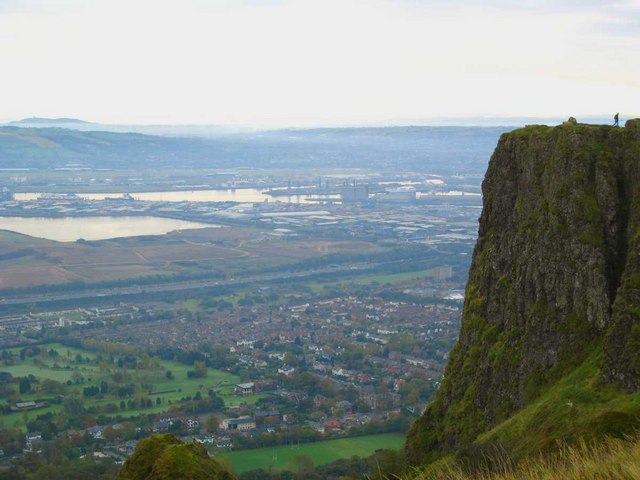 Cave FortFairy fort / earthen ringfort · 12 yd
 Church (in Ruins)Church · 1094 yd
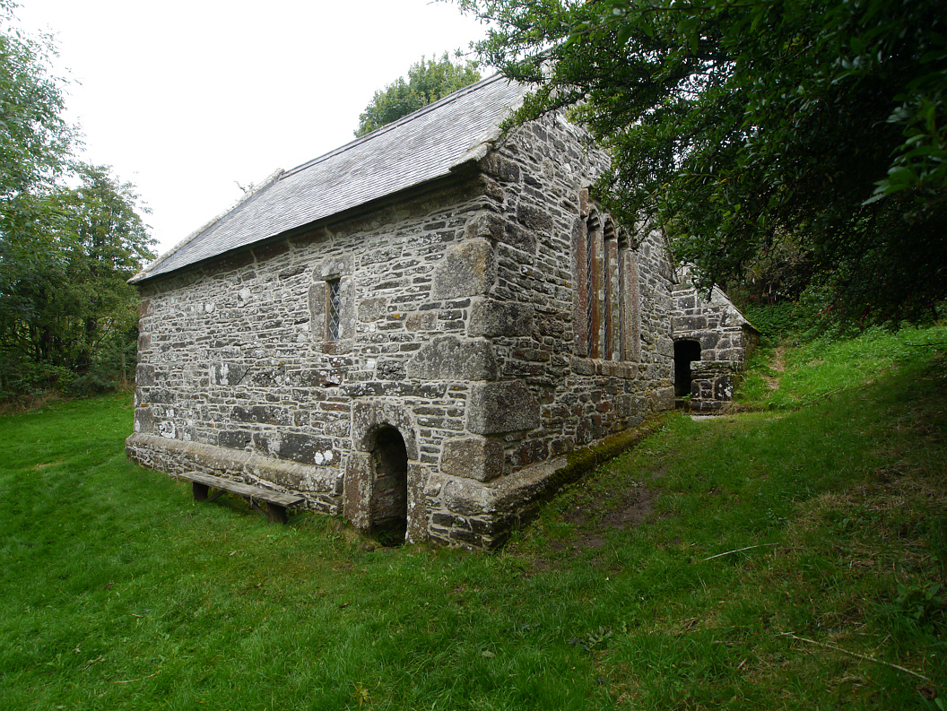 Holy WellHoly well · 1273 yd
 CastleCastle, unclassified · 1689 yd
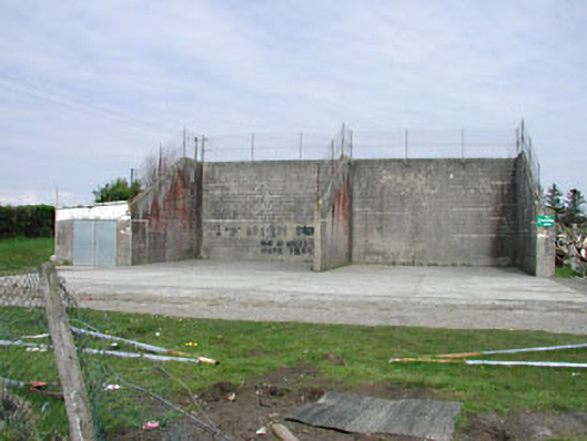 Saint Oliver Post Primary Schoolhandball alley · 1.1 mi
 Fennor LowerMountain / peak · 1.1 mi
 Mount FortuneMountain / peak · 1.3 mi
 Memorial CrossMemorial · 1.4 mi
 European BeechEuropean Beech · 1.8 mi
 The MoatCastle, motte and bailey · 2.1 mi
 C11Named rock · 3.3 mi
 LoughcrewMegalithic tomb cemetery · 3.6 mi