
What is recorded here
Two sections of passage of a possible rock-cut Man-made underground passage were exposed during drainage operations around 1978 (L 12m; H 1.2-1.67m; Wth 0.7-0.8m). Excavations in 1981 (ÓhEailidhe 1982) produced two hammerstones (Clinton 198, 123-4).
Compiled by: Geraldine Stout
Date of upload: 26 August 2011
The monument record does not grant public access. Check the route and ask the landowner before entering private land.
- What survives
- Recorded monument
Places near here
 Dunsink Observatoryobservatory/telescope · 307 yd
 Ring-ditch in DunsinkRing-ditch · 479 yd
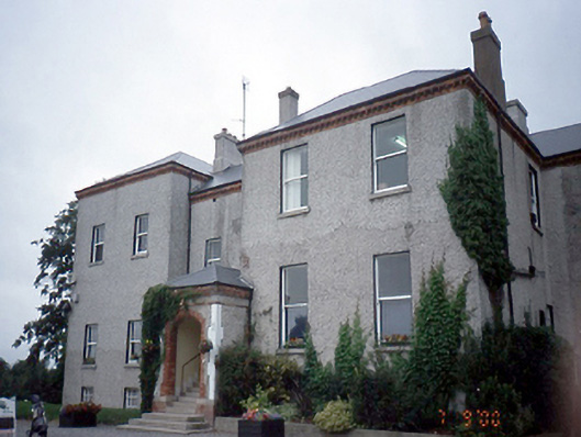 Elmgreenhouse · 884 yd
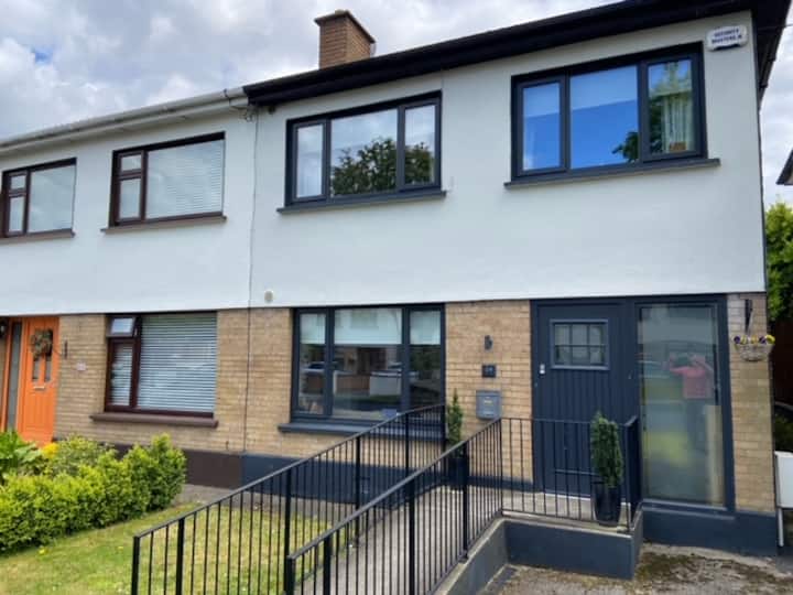 Habitation site in CappogeHabitation site · 884 yd
 Site of CastleCastle, tower house · 933 yd
 Castle (site of)Castle, unclassified · 1610 yd
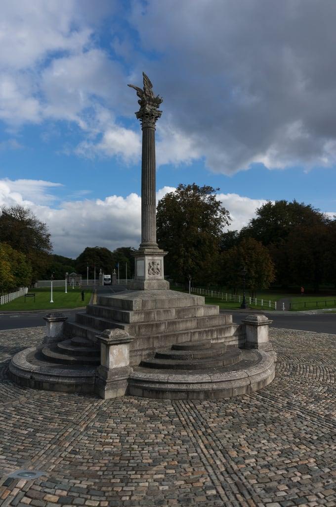 Martin Savage Memorial MonumentMonument · 1.2 mi
 Liam Ó MaoilíosaMemorial · 1.4 mi
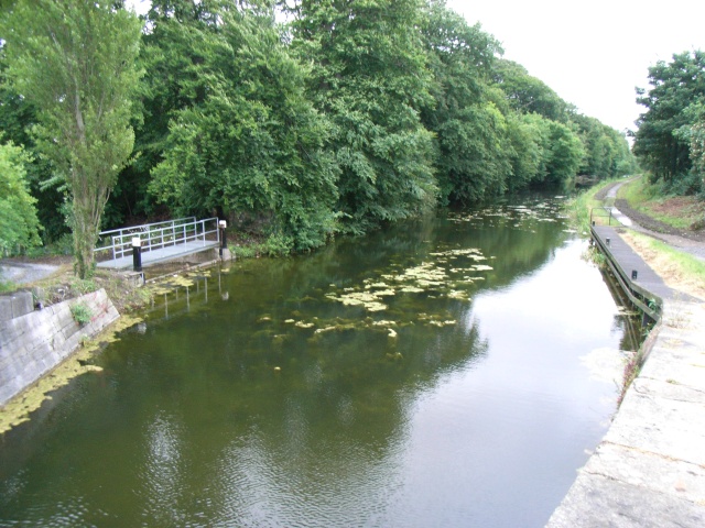 The Royal Canal WayWalking route · 1.8 mi
 National Famine WayWalking route · 1.8 mi
 Enclosure in CappogeEnclosure · 922 yd
 Earthwork in DunsinkEarthwork · 1089 yd
Other information
Photo: Credit not shown in the picture search · Rights wording not checked; contact us if this picture should be removed