
What is recorded here
Ashtown castle stood on the south bank of the River Tolka before collapsing into a kidney-shaped rubble mound. The Civil survey recorded it during 1654-6, but the stones have since choked the memory of the people who built and lost it. Grass and river water have done what forgetting does everywhere: they buried the edges until only a low ridge remains for anyone stubborn enough to look.
Situated in pasture on the S bank of the River Tolka. All that remains of the castle is a kidney-shaped mound (L 6.5m, Wth 7m, H 1.6m) of collapsed rubble. There are traces of an embankment running E-W of these remains. The Civil survey (1654-6) mentions this castle at Ashtown (Simington 1945, 247).
Compiled by: Geraldine Stout
Date of upload: 26 August 2011
The monument record does not grant public access. Check the route and ask the landowner before entering private land.
- What survives
- Recorded monument
Places near here
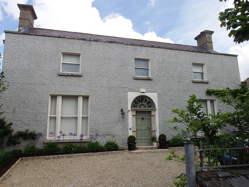 Pelletstown Househouse · 198 yd
 Longford Bridge and 10th Lockbridge · 724 yd
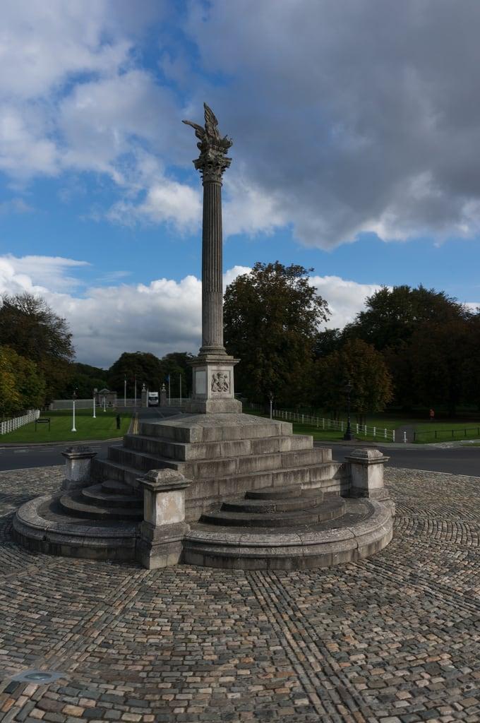 Martin Savage Memorial MonumentMonument · 1014 yd
 Man-made underground passage in DunsinkMan-made underground passage · 1610 yd
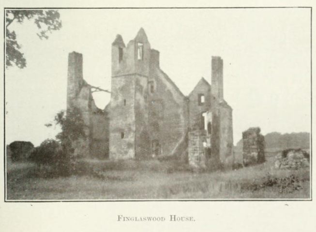 Finglaswood HouseCastle, tower house · 1637 yd
 IndicatedMound · 1.0 mi
 Richard McKeeMemorial · 1.3 mi
 Site of CastleCastle, tower house · 1.4 mi
 ChimpanzeeHeritage attraction · 1.4 mi
 Oldtown WoodWood · 1.5 mi
 Western lowland gorillaHeritage attraction · 1.5 mi
 Horse-chestnutHorse-chestnut · 1.9 mi
Other information
Photo: Credit not shown in the picture search · Rights wording not checked; contact us if this picture should be removed