What is recorded here
In a low-lying situation in grassland, on the former grounds of the Apostolic Nunciature. The site comprises a flat-topped mound, roughly circular in plan (diam. 19m; H 2.5m). There is an elongated, waterlogged hollow along the S section of the site that may have been a source for the mound material. Along the SE section of the mound is a rectangular block of granite (L 0.76m; Wth 0.56m; H 0.4m) with a socket on the upper surface that may have held a cross or sign.
In a low-lying situation in grassland, on the former grounds of the Apostolic Nunciature. The site comprises a flat-topped mound, roughly circular in plan (diam. 19m; H 2.5m). There is an elongated, waterlogged hollow along the S section of the site that may have been a source for the mound material. Along the SE section of the mound is a rectangular block of granite (L 0.76m; Wth 0.56m; H 0.4m) with a socket on…
From the National Monuments Service (Archaeological Survey of Ireland) record DU018-007003
The monument record does not grant public access. Check the route and ask the landowner before entering private land.
- What survives
- Recorded monument
Places near here
 Ashtown CastleCastle · 153 ydAshtown CastleCastle/fortified house · 155 yd
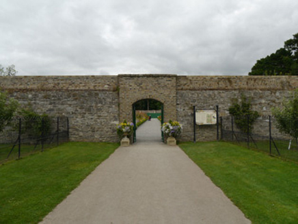 Ashtown Visitor CentreWalled garden · 189 yd
 Phoenix Park Visitor CentreVisitor information · 198 ydHoly well in Unknown TownlandHoly well · 572 yd
 Phoenix ParkPublic park · 696 ydMartin Savage Memorial MonumentMonument · 912 yd
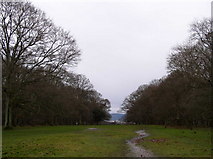 Oldtown WoodWood · 960 ydChimpanzeeHeritage attraction · 1552 ydFarmleighVisitor information · 1582 yd
 Knockmaree DolmenArchaeological place · 1.1 mi
 Horse-chestnut1.2 mi
Pictures: Frank Winkelmann, Wikimedia Commons · CC BY 3.0; National Inventory of Architectural Heritage; N Chadwick, Geograph · CC BY-SA 2.0; self, Wikimedia Commons · Public domain; JP, Geograph · CC BY-SA 2.0; Pier Paolo Lisarelli, Wikimedia Commons · CC BY-SA 4.0; Stephan van Helden, Wikimedia Commons · CC BY-SA 4.0
More archaeology and monuments in County Dublin · All of County Dublin
What do you know about this place?