
What is recorded here
Excavation (Licence no. 06E0288) was undertaken at the site in advance of the Premier Business Park development. A large L-shaped ditch (3.9m w. x 1.74m max. depth) extended N – S for 53.4m and the E return extended for c. 20m. The size of this ditch and its organic waterlogged fill indicates that it could represent the remains of a moat that may have delimited the earlier settlement on this site, prior to the construction of the recorded Cappogue Castle (DU014-027----). Pottery recovered from the moat indicates occupation during the 12th – 14th centuries (McQuade 2009).
Compiled by: Christine Baker
Date of upload: 6 February 2015
The monument record does not grant public access. Check the route and ask the landowner before entering private land.
- What survives
- Recorded monument
Places near here
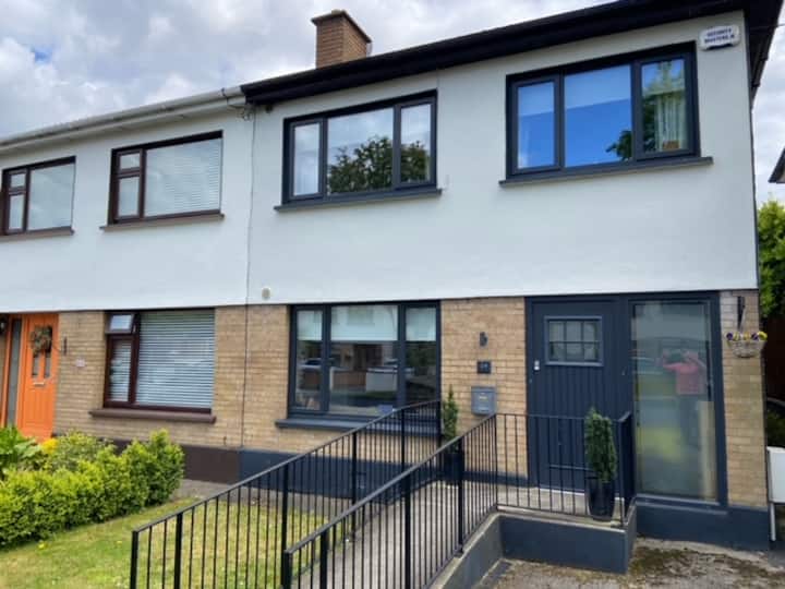 Habitation site in CappogeHabitation site · 139 yd
 Site of CastleCastle, tower house · 205 yd
 Ring-ditch in DunsinkRing-ditch · 583 yd
 Dunsink Observatoryobservatory/telescope · 1215 yd
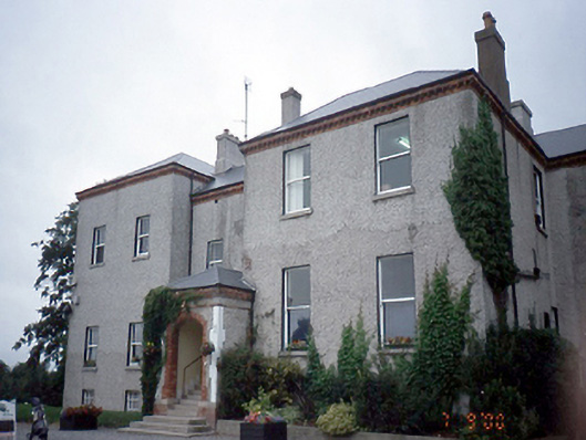 Elmgreenhouse · 1614 yd
 Liam Ó MaoilíosaMemorial · 1.2 mi
 Richard McKeeMemorial · 1.6 mi
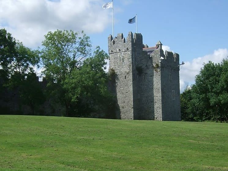 Dubber Castle (site of)Castle, unclassified · 1.8 mi
 Horizon Logistics ParkVisitor information · 2.4 mi
 BallymunVisitor information · 2.9 mi
 BaldcypressBaldcypress · 2.9 mi
 Dawn RedwoodDawn Redwood · 3.0 mi
Other information
Photo: Credit not shown in the picture search · Rights wording not checked; contact us if this picture should be removed