What is recorded here
Inside a Galway ringfort, a grassy Z-shaped ditch cuts twenty-six metres through the earth, forcing anyone who walks it to make two sharp turns before emerging. The passage may have tested memory, oriented a ritual or simply marked the boundary of a household that no longer speaks. Its angles still demand attention, turning a quiet field into a place where the body must listen before it understands.
Within a ringfort (GA074-045----). What is visible is a grassy Z-shaped linear depression (L 26m, Wth 1.8m) up to 1m in depth. Beginning just inside the rath bank at NNE, it runs S (L 9m) an then turns sharply to W to take up an E-W axis (L 10m). It then turns sharply to S again continuing on a N-S axis (L 7m).
The above description is derived from the published 'Archaeological Inventory of County Galway Vol. II - North Galway'. Compiled by Olive Alcock, Kathy de hÓra and Paul Gosling (Dublin: Stationery Office, 1999).
Date of upload: 05 August 2010
The monument record does not grant public access. Check the route and ask the landowner before entering private land.
- What survives
- Recorded monument
Places near here
 CloonignyArchaeological place · 360 yd
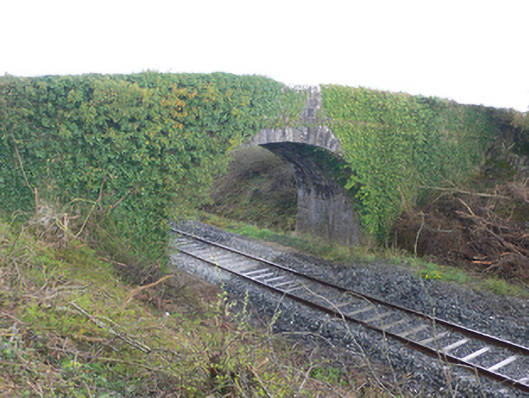 bridgebridge · 892 yd
 Man-made underground passage in Cappagh (kilconnell By.)Man-made underground passage · 1071 yd
 Barnavihall Ho.Country house · 1.0 mi
 Site of Cloonigny CastleCastle, unclassified · 1.1 mi
 Ballynabanaba CastleCastle, tower house · 1.5 mi
 Kilconnell AbbeyHeritage attraction · 1.5 mi
 Oak WoodWood · 2.4 mi
 European ashEuropean ash · 2.7 mi
 Battle of Aughrim Interpretative CentreMuseum · 3.3 mi
 Battle of AughrimMajor battlefield · 3.9 mi
 The bloody HollowHeritage attraction · 4.2 mi