
What is recorded here
Located towards the bottom of the SW-facing slope of a drumlin. There is a local memory of an underground passage that was open in the later nineteenth century and located close to the house (SMR file). The passage was supposed to run towards the rath (MO032-007----). It is no longer open and its precise location is not known.
The above description is derived from the published 'Archaeological Inventory of County Monaghan' (Dublin: Stationery Office, 1986). In certain instances the entries have been revised and updated in the light of recent research.
Date of revision: 15 May 2018
The monument record does not grant public access. Check the route and ask the landowner before entering private land.
- What survives
- Recorded monument
Places near here
 IndicatedEnclosure · 241 yd
 Pit-burial in CornagarvogePit-burial · 873 yd
 bridgebridge · 887 yd
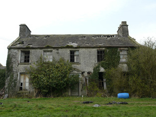 Rocksavagecountry house · 1589 yd
 CastleCastle, unclassified · 1.6 mi
 Mount AshCastle, motte · 3.4 mi
:no_upscale()/cdn.vox-cdn.com/uploads/chorus_asset/file/25593391/County_Louth_6th.jpg) LouthMountain / peak · 3.8 mi
LouthMountain / peak · 3.8 mi Flat cemetery in AnnaheanFlat cemetery · 5.1 mi
 Ballsmill Amenity LandPicnic place · 6.6 mi
 Sky HillMountain / peak · 6.7 mi
 Photo GalleryHeritage attraction · 7.5 mi
 Dundalk CentralHeritage attraction · 7.5 mi
Other information
Photo: Credit not shown in the picture search · Rights wording not checked; contact us if this picture should be removed