
What is recorded here
Located towards the bottom of the W-facing spine of a drumlin. A circular embanked enclosure (ext. diam. c. 35-40m) with trees on the perimeter is depicted on the 1834 edition of the OS 6-inch map where it is described in gothic script as a 'fort, and it is depicted as a hachured oval feature on the 1907 edition. It may be a tree-ring and it survives as an oval area (dims c. 35m N-S; c. 30m E-W) with mature deciduous trees. It was first noted and recorded by Ed. O'Donovan.
Date of upload: 15/05/2018
A local fairy fort (ringfort/rath); wider significance not recorded.
The monument record does not grant public access. Check the route and ask the landowner before entering private land.
- What survives
- Recorded monument
Places near here
 Man-made underground passage in Dromore (farney By.)Man-made underground passage · 241 yd
 bridgebridge · 647 yd
 Pit-burial in CornagarvogePit-burial · 1030 yd
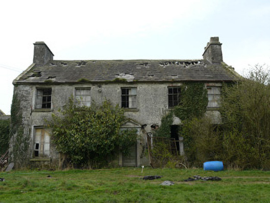 Rocksavagecountry house · 1349 yd
 CastleCastle, unclassified · 1.6 mi
 Mount AshCastle, motte · 3.5 mi
:no_upscale()/cdn.vox-cdn.com/uploads/chorus_asset/file/25593391/County_Louth_6th.jpg) LouthMountain / peak · 3.9 mi
LouthMountain / peak · 3.9 mi Flat cemetery in AnnaheanFlat cemetery · 5.2 mi
 Ballsmill Amenity LandPicnic place · 6.6 mi
 Sky HillMountain / peak · 6.7 mi
 Photo GalleryHeritage attraction · 7.6 mi
 Dundalk CentralHeritage attraction · 7.6 mi
Other information
Photo: Credit not shown in the picture search · Rights wording not checked; contact us if this picture should be removed