
What is recorded here
Castle Field in Stonetown Lower preserves a vanished castle, but no wall, ditch or tower remains visible for anyone to touch or measure. The ground keeps the shape of a missing building while people walk across it unaware.
The following description is derived from both the published 'Archaeological Inventory of County Louth' (Dublin: Stationery Office, 1986) and the 'Archaeological Survey of County Louth' (Dublin: Stationery Office, 1991). In certain instances the entries have been revised and updated in the light of recent research.
Date of upload/revision: 17 July 2007
General area known as 'Castle Field'. No visible surface trace.
The monument record does not grant public access. Check the route and ask the landowner before entering private land.
- What survives
- Recorded monument
Places near here
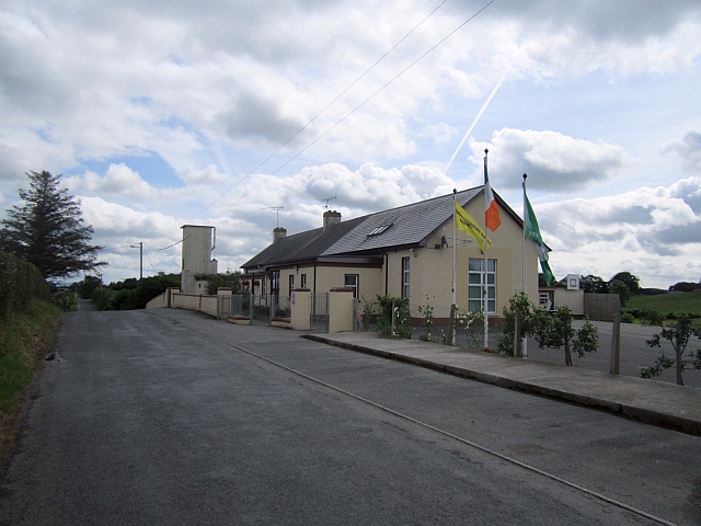 Stonetown National Schoolschool · 403 yd
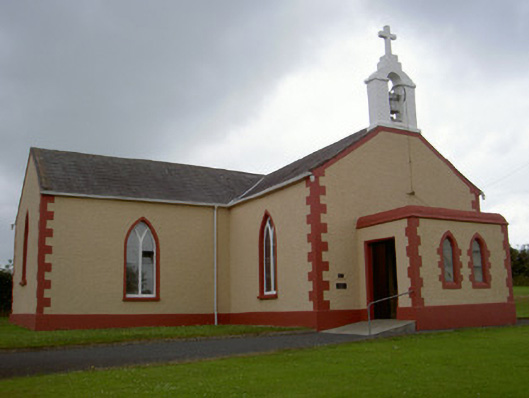 Catholic Church of Our Lady of the Snowschurch/chapel · 604 yd
 Pit-burial in CornagarvogePit-burial · 1.1 mi
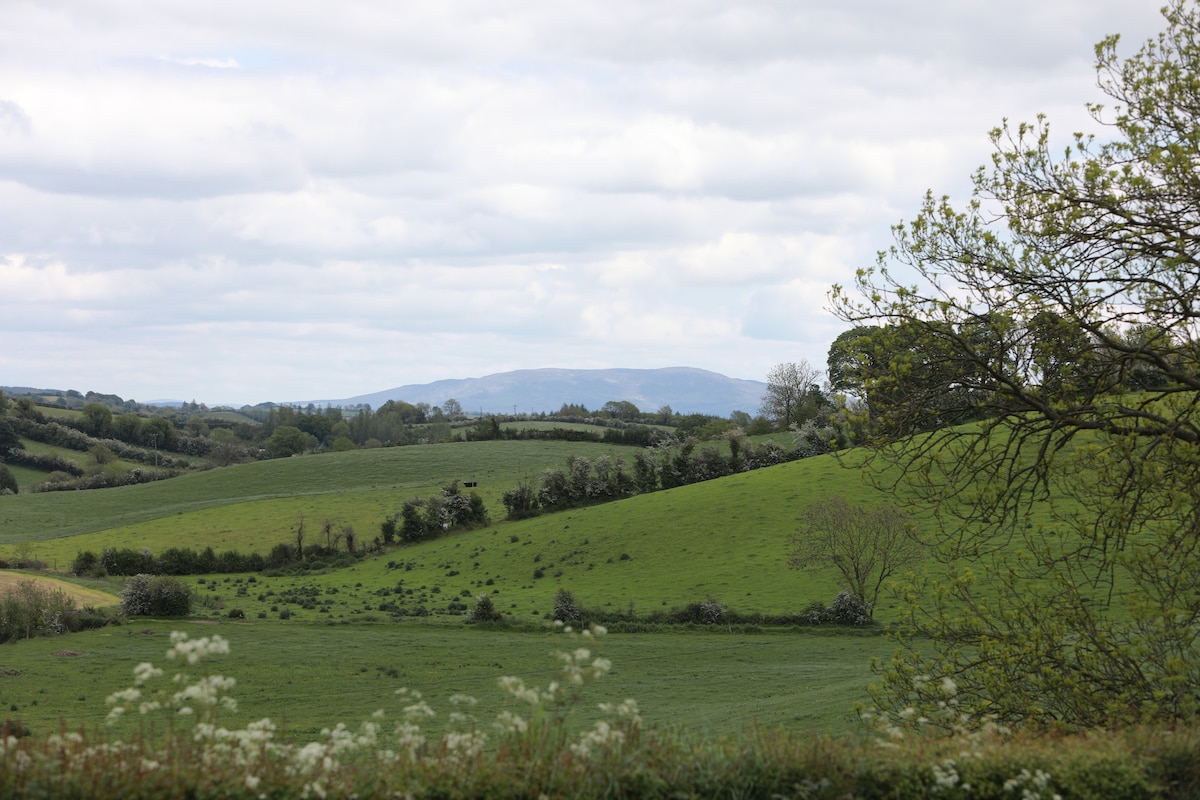 LisawollyFairy fort / earthen ringfort · 1.1 mi
 RathneestinCastle, tower house · 3.0 mi
:no_upscale()/cdn.vox-cdn.com/uploads/chorus_asset/file/25593391/County_Louth_6th.jpg) LouthMountain / peak · 3.1 mi
LouthMountain / peak · 3.1 mi Flat cemetery in AnnaheanFlat cemetery · 3.7 mi
 Mount AshCastle, motte · 4.0 mi
 Long PlantationForest · 4.8 mi
 Sky HillMountain / peak · 8.1 mi
 Ballsmill Amenity LandPicnic place · 8.1 mi
 Photo GalleryHeritage attraction · 8.1 mi
Other information
Photo: Credit not shown in the picture search · Rights wording not checked; contact us if this picture should be removed