What is recorded here
On the interior side of the outer bank of KE004-011----, just at the cliff edge, an opening is discernible, revealing stonework which possibly suggests an entrance/exit to a Man-made underground passage (KE004-011001-). The entrance to the interior of the fort measures 3m at the inner bank; there is a causeway leading to this entrance which measures c11m wide and over 25m long. Toal, ‘North Kerry Archaeological Survey’. Dingle. Brandon in association with FAS Training and Employment Authority (1995), no. 105.
From the National Monuments Service (Archaeological Survey of Ireland) record KE004-011001
The monument record does not grant public access. Check the route and ask the landowner before entering private land.
- What survives
- Recorded monument
Places near here
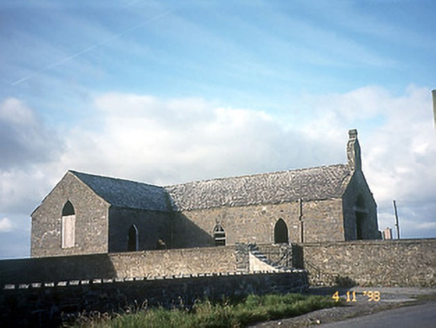 Doon Catholic ChurchChurch/chapel · 293 ydDoon Castle (in ruins)Castle, unclassified · 565 yd
 Doon PointHeadland · 715 yd
 Nuns' BeachBeach / strand · 831 ydDookeenee CastleCastle · 1054 yd
 Ballybunion Cliff PathWalking route · 1318 ydToberreendoneyHoly well · 1392 yd
 Bromore CliffsCliff · 1399 yd
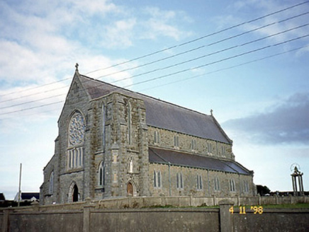 Saint John's Catholic ChurchChurch/chapel · 1480 yd
 Ladies' BeachBeach / strand · 1489 ydMan-made underground passage in BallybunnionMan-made underground passage · 1662 yd
 KnockanoreMountain / peak · 2.9 mi
Pictures: National Inventory of Architectural Heritage; Matthew Hatton, Geograph · CC BY-SA 2.0; Zairon, Wikimedia Commons · CC BY 4.0; dennis white, Wikimedia Commons · CC BY-SA 3.0; Grainne Toomey, Wikimedia Commons · CC BY-SA 4.0; Colin Park, Wikimedia Commons · CC BY-SA 2.0
More archaeology and monuments in County Kerry · All of County Kerry
What do you know about this place?