What is recorded here
In levelled enclosure (CO032-00101-). According to Bowman (1934, 33), 'depressions on the east and south sides, indicate site of Man-made underground passage'. No visible surface trace.
The above description is derived from the published 'Archaeological Inventory of County Cork. Volume 4: North Cork' (Dublin: Stationery Office, 2000). In certain instances the entries have been revised and updated in the light of recent research.
Date of upload/revision: 14 January 2009
The monument record does not grant public access. Check the route and ask the landowner before entering private land.
- What survives
- Recorded monument
Places near here
 Enclosure in CastlemagnerEnclosure · 928 yd
 IndicatedHouse, vernacular house · 942 yd
 Man-made underground passage in CloonteensMan-made underground passage · 1031 yd
 Castle Magner (in Ruins)Bawn · 1154 yd
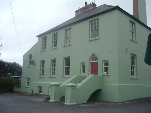 The Old Rectoryrectory/glebe/vicarage/curate's house · 1177 yd
 European YewEuropean Yew · 1.4 mi
 Lohort CastleCastle, tower house · 1.5 mi
 Graveyard in Ballygiblin (duhallow By.)Graveyard · 1.5 mi
 Burial ground in AssolasBurial ground · 1.6 mi
 St Fursey's WellSpring · 2.6 mi
 Mount Hillary - Knightfield LoopWalking route · 3.0 mi
 Mount Hillary - Mount Hillary LoopWalking route · 3.3 mi