
What is recorded here
In the SW quadrant of a rath (SL040-18801-). A depression (dims. 8.7m x 4.2m), covered by overgrowth, may indicate a collapsed Man-made underground passage chamber.
The above description is derived from the published 'Archaeological Inventory of County Sligo' compiled by Ursula Egan, Elizabeth Byrne, Mary Sleeman with Sheila Ronan and Connie Murphy (Dublin Stationery Office, 2005).
Attached image:
SL040-188002-_01.JPG viewed from N
Date of upload: 18 January 2008
The monument record does not grant public access. Check the route and ask the landowner before entering private land.
- What survives
- Recorded monument
Places near here
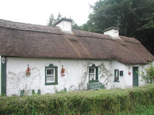 farm housefarm house · 526 yd
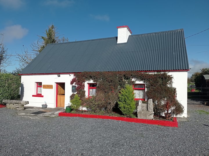 Hut site in Carricknahorna WestHut site · 877 yd
 Ballinafad CastleCastle · 922 yd
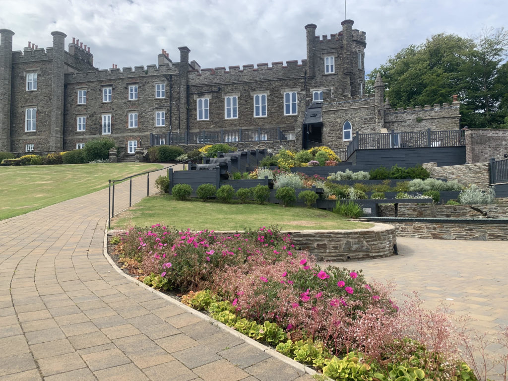 Nunnery (in Ruins)Religious house, unclassified · 995 yd
 Fulacht fia in BallaghboyFulacht fia · 1154 yd
 Carricknahorna EastMountain / peak · 1.7 mi
 MoatCastle, motte · 2.2 mi
 Muck IslandIslet · 2.3 mi
 Battle of the Curlew Mountains (1599)Battlefield · 2.3 mi
 Battle of Curlew PassMajor battlefield · 2.3 mi
 Bricklieve MountainsMountain / peak · 2.4 mi
 Treanscrabbagh caveCave · 2.8 mi
Other information
Photo: Credit not shown in the picture search · Rights wording not checked; contact us if this picture should be removed