What is recorded here
Danesholm and I walked the blue road to find the cave in Danes Graveyard. We cut through knee-high grass, passed a fallen wall and came to a narrow gap between black stones. I entered first with my lantern. The passage leaned downward, smelled of wet earth and dropped into darkness so complete the flame became a small white marble. After thirty steps the roof touched my shoulder and the floor tilted upward. I climbed out onto a grass ridge, breathing hard, while Danesholm waited unchanged in the moonlight. I have never measured that distance or drawn it. I only know the ground took us both and gave us back different.
The following description is derived from both the published 'Archaeological Inventory of County Louth' (Dublin: Stationery Office, 1986) and the 'Archaeological Survey of County Louth' (Dublin: Stationery Office, 1991). In certain instances the entries have been revised and updated in the light of recent research.
Date of upload/revision: 17 July 2007
Local tradition of a 'cave' in field known as 'Danes' Graveyard'; also local tradition of another in field adjoining to the NW.
The monument record does not grant public access. Check the route and ask the landowner before entering private land.
- What survives
- Recorded monument
Places near here
 Man-made underground passage in Bellurgan (dundalk Lwr By; Ballyboys Par.)Man-made underground passage · 15 yd
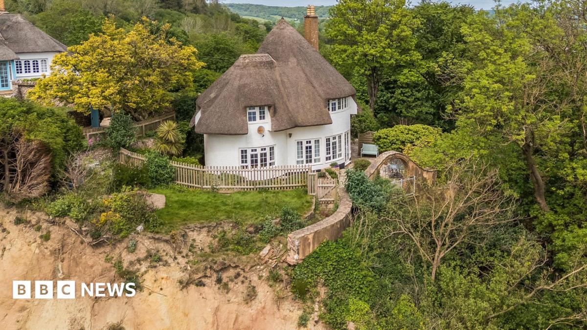 Cliff-edge fort in JenkinstownCliff-edge fort · 441 yd
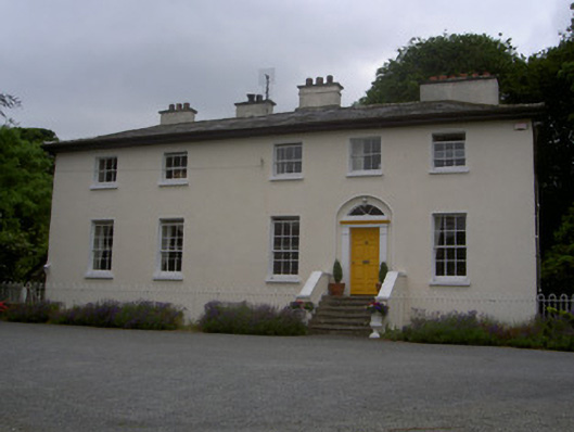 The Old Rectoryrectory/glebe/vicarage/curate's house · 919 yd
 Drumisnagh HillMountain / peak · 1017 yd
 Trumpet HillMountain / peak · 1056 yd
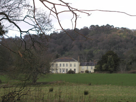 Bellurgan Parkhouse · 1147 yd
 CastleCastle, tower house · 1.6 mi
 Proleek DolmenArchaeological place · 1.7 mi
 Soldiers' PointHeadland · 1.7 mi
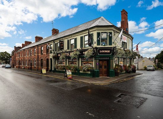 TSS DundalkMemorial · 2.3 mi
 Battle of FaughartMajor battlefield · 3.2 mi
 Louth County MuseumMuseum · 3.6 mi