What is recorded here
The following description is derived from both the published 'Archaeological Inventory of County Louth' (Dublin: Stationery Office, 1986) and the 'Archaeological Survey of County Louth' (Dublin: Stationery Office, 1991). In certain instances the entries have been revised and updated in the light of recent research.
Date of upload/revision: 17 July 2007
Situated on a terrace on the S slopes of the Cooley Mountains, the site consists of a circular area (diam. 22m) enclosed by a bank on all sides except to the NE where it is bounded by a ravine. There is an outer bank, not concentric with the inner, on all sides except the NE. However, the nature of the stone facing of this bank suggests that it may be modern in date. Outside the banks on the N is a rectangular area demarcated by scarping, which may indicate a much-degraded annexe.
A local fairy fort (ringfort/rath); wider significance not recorded.
The monument record does not grant public access. Check the route and ask the landowner before entering private land.
- What survives
- Recorded monument
Places near here
 Man-made underground passage in Bellurgan (dundalk Lwr By; Ballyboys Par.)Man-made underground passage · 434 yd
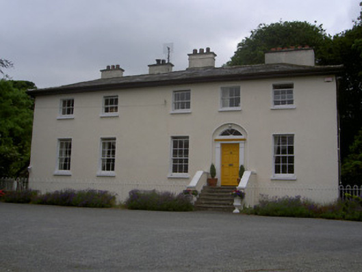 The Old Rectoryrectory/glebe/vicarage/curate's house · 573 yd
 Man-made underground passage in Bellurgan (dundalk Lwr By; Castletown Par.)Man-made underground passage · 951 yd
 Drumisnagh HillMountain / peak · 1173 yd
 The Round MountainMountain / peak · 1179 yd
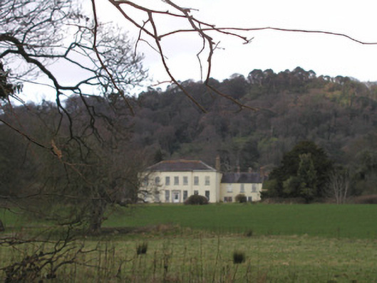 Bellurgan Parkhouse · 1574 yd
 CastleCastle, tower house · 1.8 mi
 Proleek DolmenArchaeological place · 1.9 mi
 Soldiers' PointHeadland · 2.0 mi
 Battle of FaughartMajor battlefield · 3.4 mi
 Louth County MuseumMuseum · 3.8 mi
 Bombing 1975Memorial · 4.0 mi
Other information
Photo: Credit not shown in the picture search · Rights wording not checked; contact us if this picture should be removed