What is recorded here
One chamber, two shafts, three passages: the underground work near Balregan Castle still fits that shape. Wright drew it in 1758 with steps, a side branch and a gallery at the end, but he gave no measure for how large those parts are. The drawing preserves the shape of the place while withholding the scale of the experience.
The following description is derived from both the published 'Archaeological Inventory of County Louth' (Dublin: Stationery Office, 1986) and the 'Archaeological Survey of County Louth' (Dublin: Stationery Office, 1991). In certain instances the entries have been revised and updated in the light of recent research.
Date of upload/revision: 17 July 2007
Described by Wright (1758, 16-17, pl 10) as being close to Balregan Castle. It appears from Wright's drawing to consist of a passage with two or three steps at a point one-third of the way along its length. Near the end of the passage is a short section of a passage leading off at right angles. A drop-hole creep gives access to a short length of passage overhead, from which a second drop-hole descends again to the lower level. The second passage extends for some distance, finally terminating in a gallery set at right angles. The general plan of the Man-made underground passage is H-shaped, but no scale is incorporated to suggest comparative size.
The monument record does not grant public access. Check the route and ask the landowner before entering private land.
- What survives
- Recorded monument
Places near here
 Balregan CastleCastle, tower house · 203 yd
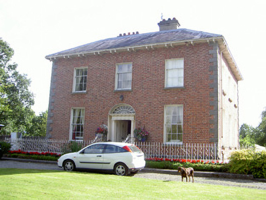 Water Lodgemiller's house · 397 yd
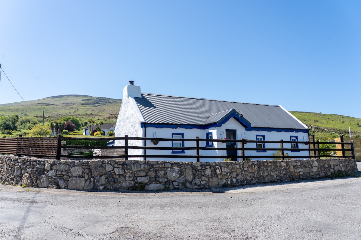 Embanked enclosure in BalreganEmbanked enclosure · 458 yd
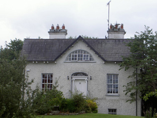 Balregan Housemiller's house · 476 yd
 Enclosure in FalmoreEnclosure · 1050 yd
 TumulusCastle, motte and bailey · 1.1 mi
 Dundalk CentralHeritage attraction · 2.3 mi
 Photo GalleryHeritage attraction · 2.3 mi
 Battle of FaughartMajor battlefield · 2.3 mi
 Sky HillMountain / peak · 2.4 mi
 MonascreebeMountain / peak · 2.4 mi
 Maid of ErinMemorial · 2.4 mi