What is recorded here
According to a Mr. Gerald Mulroney who informed the National Monuments Service in 1982 that about a 100 years ago two men discovered a 'cave' in a field in the townland of Ballykilroe and this field has since been known as the 'cave field' (SMR File). The area marked on the RMP map for Co. Westmeath was visited in 1984 and no surface traces of any possible Man-made underground passage could be found. Several local people were visited at the time and no local tradition of a Man-made underground passage or of a 'cave' being found c. 100 years ago could be confirmed.
Compiled by: Caimin O'Brien
Date of upload: 28 March 2013
The monument record does not grant public access. Check the route and ask the landowner before entering private land.
- What survives
- Recorded monument
Places near here
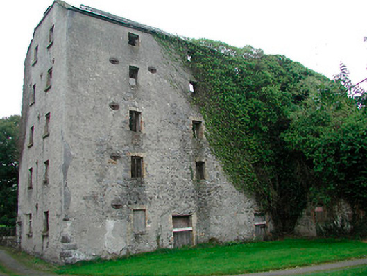 mill (water)mill (water) · 342 yd
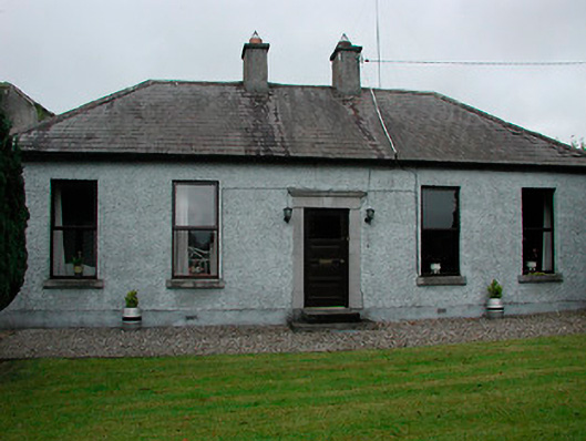 miller's housemiller's house · 387 yd
 Enclosure in Balrath (moycashel By.)Enclosure · 580 yd
 Balrath CastleCastle · 601 yd
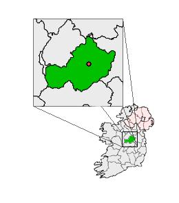 Partially outlinedCastle, unclassified · 1.1 mi
 Ardan WoodWood · 3.5 mi
 Bonfire HillMountain / peak · 3.6 mi
 Kilmalady HillMountain / peak · 5.4 mi
 High WoodWood · 5.5 mi
 St. Columba's WellSpring · 5.7 mi
 ToberaskeenSpring · 8.1 mi