What is recorded here
In pasture, on a SW-facing slope. A recent collapse of earth resulted in a roughly circular opening (0.45m NNE-SSW; 0.43m ESE-WNW) which gives access to a roughly oval earth-cut chamber (0.86m x 0.74m; min. D 0.9m). A creepway (L c. 0.33m; min. Wth 0.2m) leads to the SSW from the chamber but it was inaccessible due to an accumulation of spoil from the collapse.
The above description is derived from 'The Archaeological Inventory of County Cork. Volume 5' (Dublin: Stationery Office, 2009).
Date of upload: 22 December 2009
The monument record does not grant public access. Check the route and ask the landowner before entering private land.
- What survives
- Recorded monument
Places near here
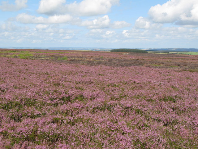 Burnt mound in DromataniheenBurnt mound · 759 yd
 Cloonee FortFairy fort / earthen ringfort · 1308 yd
 KilbreaghMountain / peak · 1453 yd
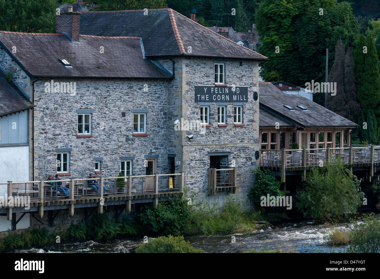 Corn MillMill, corn · 1510 yd
 farm housefarm house · 1621 yd
 Coomkeen Loop WalkWalking route · 1.4 mi
 KnockboolteenaghMountain / peak · 1.5 mi
 Durrus CheeseHeritage attraction · 1.5 mi
 Barnageehy Loop WalkWalking route · 1.8 mi
 Coolnalong Castle (in Ruins)House, fortified house · 1.8 mi
 Mannion's Island (Small)Islet · 2.4 mi
 Rossmore Castle (in Ruins)Castle, tower house · 2.5 mi