What is recorded here
Underground in Ash Little, people dug a passage through solid earth, creating a cave-like route others could walk when surface roads failed or secrets needed hiding. Local tradition still calls it a cave, suggesting its shape felt natural even though human hands made it. The passage may have served trade, flight or worship, depending on the season and danger above. Its true purpose has faded, but the hole remains, waiting for someone brave enough to ask the dark what it kept.
The following description is derived from both the published 'Archaeological Inventory of County Louth' (Dublin: Stationery Office, 1986) and the 'Archaeological Survey of County Louth' (Dublin: Stationery Office, 1991). In certain instances the entries have been revised and updated in the light of recent research.
Date of upload/revision: 17 July 2007
Local tradition of 'cave'. (CLAJ 1904, 39).
The monument record does not grant public access. Check the route and ask the landowner before entering private land.
- What survives
- Recorded monument
Places near here
 IndicatedMan-made underground passage · 213 yd
 Mount AshCastle, motte · 876 yd
 Man-made underground passage in BallinloughanMan-made underground passage · 895 yd
 CastleCastle, motte and bailey · 1054 yd
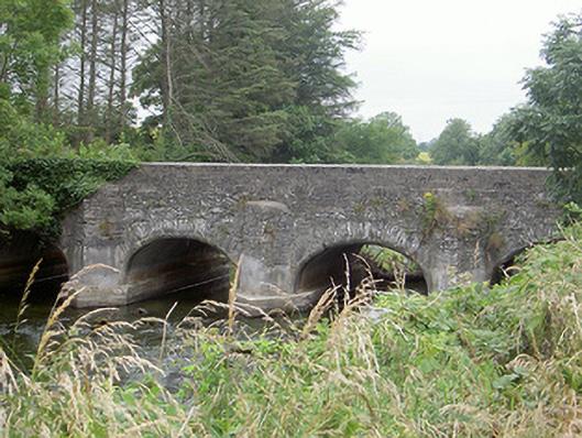 Castlering Bridgebridge · 1177 yd
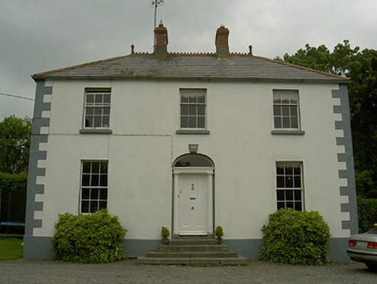 Hollow Househouse · 1283 yd
 Photo GalleryHeritage attraction · 4.6 mi
 Dundalk CentralHeritage attraction · 4.7 mi
 Maid of ErinMemorial · 5.1 mi
 Bombing 1975Memorial · 5.2 mi
 Sky HillMountain / peak · 5.4 mi
 Ballsmill Amenity LandPicnic place · 5.7 mi