What is recorded here
The first chamber in Aghavadden still stands with drystone walls leaning inward beneath flat slab roofs. Its collapsed passage and low creep suggest people once crawled through darkness inside the rath bank. The second chamber nearby repeats the same deliberate construction, turning the earthwork into a hidden underground room rather than a ordinary mound.
In the NW quadrant of a rath (LF021-039001-). A largely collapsed, linear passage (L c. 5.5m; Wth c. 1.5m), aligned NE-SW leads to a creep (L 2.3m; Wth 0.75m; max. H 0.8m) at its SW end. The creep accesses a small subrectangular chamber (5.5m NE-SW; 2m NW-SE; max. H 1.6m). The walls are built of drystone masonry and incline inward at top to support a roof of large flat slabs. A second Man-made underground passage (LF021-039002-), of similar construction, is located within the thickness of the inner bank of the rath at SW. (ITA Survey 1944)
Compiled by: Patrick F. O'Donovan
Date of upload: 3 September 2012
The monument record does not grant public access. Check the route and ask the landowner before entering private land.
- What survives
- Recorded monument
Places near here
 Man-made underground passage in Aghavadden,glebe (rathcline By., Cashel West Ed)Man-made underground passage · 35 yd
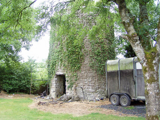 mill (wind)mill (wind) · 873 yd
 Church (in Ruins)Church · 1243 yd
 Grave YardGraveyard · 1263 yd
 Caltragh CastleCastle, unclassified · 1523 yd
 Elfeet CastleCastle, Anglo-Norman masonry castle · 1653 yd
 Priest's IslandIslet · 1.4 mi
 Culnagore WoodForest · 1.4 mi
 Elfeet BayBay · 1.5 mi
 Leveran IslandIslet · 1.6 mi
 Black RockNamed rock · 3.2 mi
 St. John's WoodWood · 3.2 mi