What is recorded here
Located immediately to NW of Staad Abbey (SL005-022001-), in an area of lowlying coastal pasture, bordering a cobble beach. In 1999 this stone-built Man-made underground passage was noted eroding out of the section face of the land-edge cliff (H c. 2m) bordering the cobble beach. In 2000 it was recorded and partly excavated (Licence no.: 00E0235) (McCormick et al. 2000, 18-19, 25). The remains consisted of two walls (H 1.8m) of drystone construction set 0.7m apart, defining a passage or chamber that extended roughly NNW−SSE. No roof was evident. An iron blade and a chert flake were found on the compact earthen floor. Layers of redeposited midden material (SL005-022004-) filled the space between the walls. This suggested that the Man-made underground passage went out of use and was deliberately backfilled; the roof may have been dismantled at this stage. It is likely that a ‘stone-lined drain’ noted in the eroding cliff face in 1993 was also part of the Man-made underground passage, perhaps the remains of a creep, but this was already lost to erosion by the time of the investigations in 2000 (McCormick, F. and Bently, B. 1994, 2; McCormick et al. 2000, 19). A sample of cow bone retrieved from the lowest fill of the Man-made underground passage produced a calibrated radiocarbon date of AD 1010-1155 (UB-4575, at one standard deviation) (McCormick and O’Sullivan et al. 2000, 20).
The Man-made underground passage points to a phase of early medieval settlement pre-dating the construction of the present late medieval church (SL005-022001-); McCormick and O’Sullivan et al. (2000, 20) postulate that the deliberate backfilling of the Man-made underground passage in the 11th or 12th century may have happened at a time of reorganisation of the site in preparation for the building of the present church.
Coastal erosion appears to have destroyed the last remnants of the Man-made underground passage; a shallow C-shaped indentation in the cliff-edge marks the location.
Compiled by: Jane O'Shaughnessy
Date of upload: 3 July 2017
The monument record does not grant public access. Check the route and ask the landowner before entering private land.
- What survives
- Recorded monument
Places near here
 Enclosure in AgharrowEnclosure · 39 yd
 StructureStructure, peatland · 41 yd
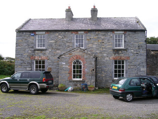 Streedagh Househouse · 742 yd
 de Cuellar Armada MonumentMemorial · 867 yd
 Streedagh BeachVisitor information · 1.1 mi
 Atlantic SheepdogsHeritage attraction · 1.1 mi
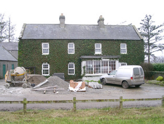 Ivy Househouse · 1.7 mi
 InishnagorIslet · 1.9 mi
 CastleCastle, unclassified · 1.9 mi
 Upperglen WoodForest · 2.1 mi
 Forester's WoodForest · 2.4 mi
 Bawn in DoonforeBawn · 2.5 mi