What is recorded here
In SW quadrant of ringfort (WM025-130----) is an irregular-shaped, shallow depression which could be the potential remains of a Man-made underground passage.
See attached plan and profile of monument surveyed and drawn by the ASI.
Compiled by Alison McQueen, Vera Rahilly and Caimin O’Brien.
Date of upload: 24 September 2019
The monument record does not grant public access. Check the route and ask the landowner before entering private land.
- What survives
- Recorded monument
Places near here
 Adamstown Castle (in Ruins)Castle, tower house · 107 yd
 Man-made underground passage in Adamstown (moycashel By.)Man-made underground passage · 195 yd
 bridgebridge · 684 yd
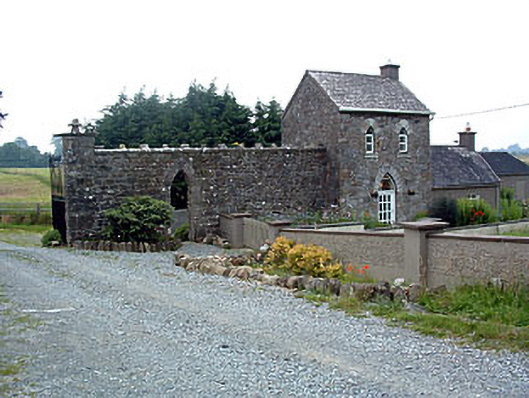 Jamestown Courtgate lodge · 713 yd
 Partially hachuredFairy fort / earthen ringfort · 831 yd
 Rathdrishoge CastleCastle, unclassified · 1253 yd
 Hill of UisneachMountain / peak · 3.1 mi
 European ashEuropean ash · 3.5 mi
 Sam's ParkForest · 3.5 mi
 KnockastiaMountain / peak · 5.0 mi
 Moate HillMountain / peak · 9.5 mi
 Charles BianconiMemorial · 9.6 mi