What is recorded here
Situated on a level landscape with a NE-SW section of the River Slaney c. 150m to the NW. The shadow of a sill-beam incorporated in a brick-built building that was probably timber-framed with an attached kiln was uncovered (09E0393) in 2011, c. 200m NNE of the Clohamon castle (WX009-005----). The walls survived to two courses of bricks and were bonded with a lime-mortar, as was the shale-flagged floor (dims 4m x c. 5m). The foundations and fill of the attached brick-built kiln produced mid to late-17th century ceramics and tobacco pipes, suggesting that it was abandoned by 1700 AD. This building was probably a malt-house where moist barley was spread on the floor and allowed to sprout before being dried in the kiln as part of the beer-making process. (Lyttleton 2013; 2013a, 21-2)
Compiled by: Michael Moore
Date of upload: 30 January, 2013
The monument record does not grant public access. Check the route and ask the landowner before entering private land.
- What survives
- Recorded monument
Places near here
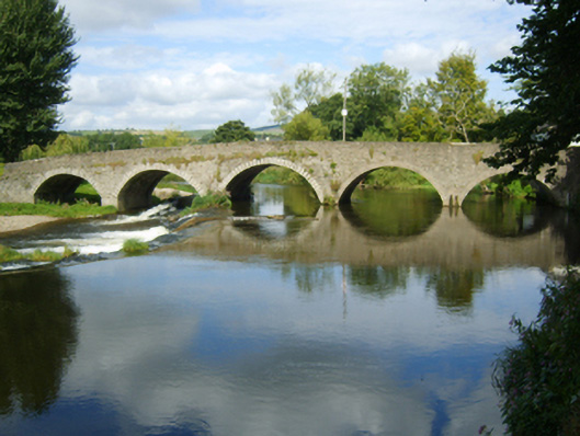 Clohamon Bridgebridge · 161 yd
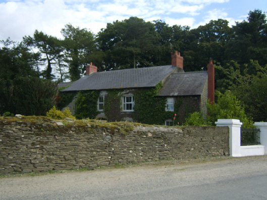 Clohamon Lodgefarm house · 208 yd
 Clohamon Castle (in ruins)Castle, unclassified · 223 yd
 Ryland Castle (in ruins)Castle, unclassified · 541 yd
 IndicatedHoly well · 1569 yd
 European YewEuropean Yew · 1.6 mi
 European LarchEuropean Larch · 1.6 mi
 1798 rebellion Battle of Newtownbarry (AKA Bunclody) commemorative plaqueMemorial · 1.9 mi
 Bunclody 1798 Bicentenary MemorialMemorial · 1.9 mi
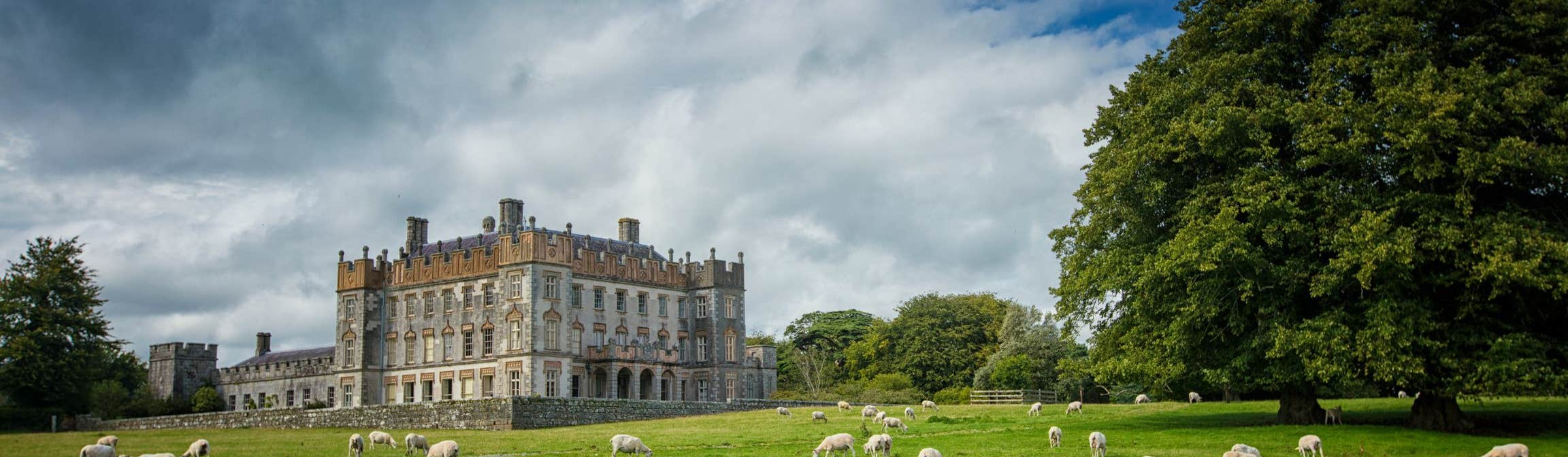 Round O RathEnclosure · 2.3 mi
 Gibbet HillMountain / peak · 2.8 mi
 John's HillMountain / peak · 3.7 mi