DDiscover AloneMapAbout

Malt house in Blackrath and Athgarvan

Malt house
Malt house in Blackrath and Athgarvan
Photo: National Inventory of Architectural Heritage · Report the wrong picture

This does not grant access. Most recorded buildings are privately owned; view them only from public ground unless the owner allows entry.

What do you know about this place?Tap to add a comment or ask a question

What you write will be public.

What is recorded here

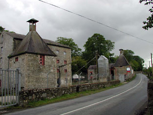
Detached five-bay two-storey rubble stone building with attic, c.1860, on an L-shaped plan with single-bay two-storey side elevation to north, single-bay two-storey projecting block to east and two-bay two-storey lower return to rear to west. Now disused. Gable-ended roofs with slate (pyramidal to projecting block…

Read the whole record
Detached five-bay two-storey rubble stone building with attic, c.1860, on an L-shaped plan with single-bay two-storey side elevation to north, single-bay two-storey projecting block to east and two-bay two-storey lower return to rear to west. Now disused. Gable-ended roofs with slate (pyramidal to projecting block with open vent to apex). Clay ridge tiles. Square rooflights. Rendered coping to gables. Cast-iron rainwater goods on rendered eaves band. Rubble stone walls (chamfered corner to projecting block). Red brick dressings including quoins to corners. Square-headed window openings. Stone sills. Red brick block-and-start surrounds. Timber fittings. Set within own grounds about a courtyard with side (north) elevation fronting on to road.Detached six-bay four-storey rubble stone building with attic, c.1860, with single-bay three-storey projecting block to front and single-bay three-storey lean-to return to rear to south. Renovated and part refenestrated, c.1980. Now disused. Gable-ended roof with slate (pyramidal to projecting block with open vent to apex; lean-to to return). Clay ridge tiles. Rendered coping to gables. Cast-iron rainwater goods on rendered eaves band. Rubble stone walls. Slate-hung, c.1980, to upper floors to side elevation to west. Square-headed openings (including door opening to gable to attic to east). Stone sills. Red brick heads. Timber fittings. Replacement timber casement windows, c.1980, to ground floor. Set within own grounds about a courtyard set back from road.
Athgarvan Malthouse (former), although disused, retains much of its original appearance and character and is a good example of a mid nineteenth-century industrial building in the region. The primary elevations, composed of massive wall masses pierced with small openings, reveal the utilitarian nature of the building that was required to be cool and damp proof. The sombre appearance of the buildings is enlivened, however, through the positioning of projecting block having pyramidal roofs and the use of red brick to the block to west. The malt house is of considerable historical and social importance as the focal point for local agricultural activities and a centre of employment in the past. It is also representative of a type of industry that is no longer practised in this way and on this scale in Ireland. The malt house is a prominent landmark on the side of the road. Original materials remain in situ, including the traditional stone construction and slate to the roof, while some early timber fittings also survive intact.

From the Buildings of Ireland (National Inventory of Architectural Heritage) record 11902314

Places near here

Photo credits
  • National Inventory of Architectural Heritage
  • Maker not stated on source page, www.countrylife.co.uk
  • Maker not stated on source page, www.irishexaminer.com
  • Maker not stated on source page, www.dreamstime.com
  • Andy Cronin, via Athgarvan GAA & LGFA Club, www.athgarvangaa.ie
  • Maker not stated on source page, uk.pinterest.com
  • Maker not stated on source page, heritageireland.ie
  • Golfing in Ireland; photographer not stated, Source publisher
  • Kenneth Allen, Wikimedia Commons · CC BY-SA 2.0
  • Willow, Wikimedia Commons · CC BY 2.5
bridge29 yd

Explorer Tom Bridge in Blackrath and Athgarvan is a stone arch that used to feed a maltings with water. It looks like it’s holding…
Athgarvan BridgeBridge · 95 yd

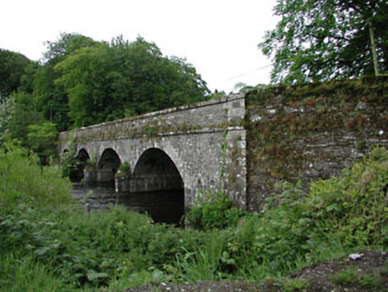
Explorer Tom Athgarvan Bridge is incredibly proud of the fact that it hasn’t collapsed yet despite centuries of traffic. It thinks…

CastleCastle, unclassified · 1060 yd

Explorer Tom Castle in Walshestown is a ruin on a quarry edge that probably survived a zombie apocalypse by hiding in the shadows of…

Fairy fort / earthen ringfort in Blackrath and AthgarvanFairy fort / earthen ringfort · 1261 yd

Explorer Tom This fairy fort is a horse cemetery, so keep your voice down or they’ll kick you. It’s the ultimate shortcut that leads…
Enclosure in GreatconnellEnclosure · 1653 yd

Explorer Tom There was a dance held here in Greatconnell that went on until the cows got dizzy and sat down. The ground is still…

Athgarvan GAA pitchGAA ground · 1.2 miSaint Conleth's CemeteryCemetery · 1.3 mi

Explorer Tom Saint Conleth's Cemetery was saved by a hero nobody remembers, probably because he drank too much and fell off his…

Military CemeteryCemetery · 1.3 mi

Explorer Tom The Military Cemetery in Kildare would post on social media about how it’s the only place where silence is considered…

Royal Curragh Golf ClubGolf course · 1.7 miNewbridge SilverwareMuseum · 1.8 mi

Explorer Tom Newbridge Silverware began making silver-plated cutlery in 1934, which means this Kildare place has spent decades…
The Chalet ""K""-LinesPrison/jail · 1.8 mi

Explorer Tom The Chalet K-Lines in Curragh is a leftover from an internment camp that looked like a giant tent. The whole parish…
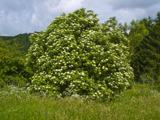
Elder2.0 mi

Explorer Tom An Elder tree almost got sold to a farmer for his horse, but he backed out when it refused to eat oats. It stands there…

More historic places in County Kildare · All of County Kildare

Add to this placeAdd a picture Add a detailed tip Add a story

Explore the map1,095,414 places to discover

Next place · or swipebridge