What is recorded here
Archaeological testing carried out under excavation licence no. 04E0012 (Part 1) by Brian O Donnchadha of I.A.C. Ltd as part of the Ballyshannon/Bundoran Bypass road scheme revealed a possible pit burial and a chert knapping site. The site is located at the base of a valley, near Donegal Bay,with a stream along its southern boundary. The glacial subsoil slopes considerably downwards under the peat bog, which occupies the 30 m of the field west of the stream, possibly indicating that it may have been a lakeshore area. The site consisted of an irregular-shaped shallow pit filled with frequent fragments of cremated bone. A lithic scatter (DG109-009001-) was uncovered from the area above the pit. The assemblage, distributed over an area of 140 m, represents a dispersed spread of stray finds, rather than a discrete matter. 23 pieces of chert debitage (primary knapping debitage, cores, flakes, blades). Information taken from NRA archaeological database website (www.nra.ie).
A Neolithic pit burial; significant as part of early agricultural settlement evidence in the region.
The monument record does not grant public access. Check the route and ask the landowner before entering private land.
- What survives
- Recorded monument
Places near here
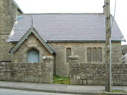 Christ Church (Inishmacsaint)school, building misc · 671 yd
 Bundoran Presbyterian Churchchurch/chapel · 673 yd
 Church (Site of)Church · 832 yd
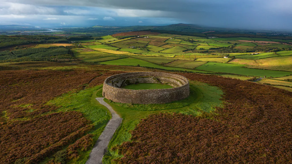 Destroyed Ardfarn Stone RingfortFairy fort / stone ringfort · 1004 yd
 BundoranOfficial bathing water · 1385 yd
 Wishing ChairHeritage attraction · 1.4 mi
 Fairy BrigesHeritage attraction · 1.4 mi
 Bundrowes Castle (Site of)Castle, unclassified · 1.5 mi
 Cliffs by BundoranPublicly named cliff or headland · 1.6 mi
 Finner Old GraveyardGraveyard · 1.6 mi
 Bawn in DuncarbryBawn · 1.8 mi
 Lareen BayBay · 2.4 mi