
What is recorded here
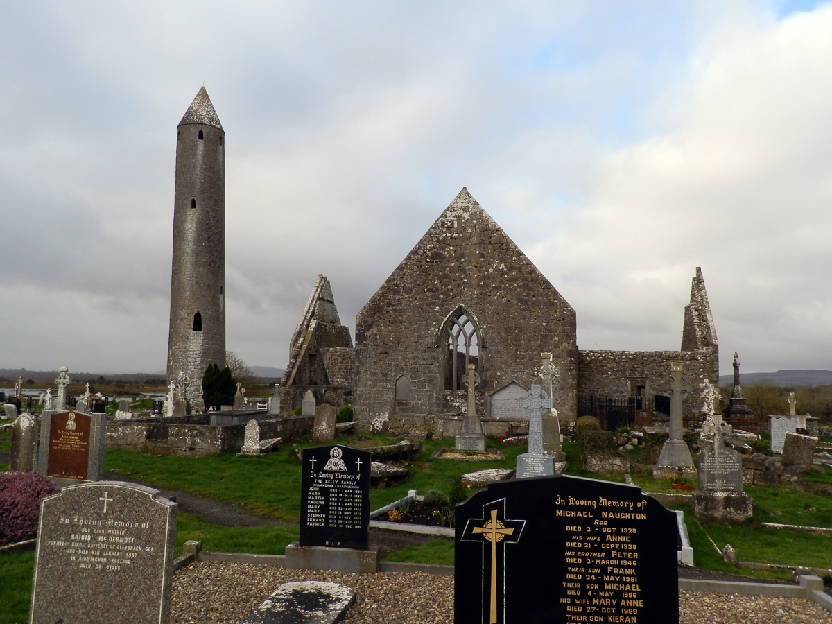
Part of the monastic complex at Kilmacduagh. Named on the OS 6-inch maps, ‘Macduagh’s Tree’ was located at the junction of three roads, c. 250m to the SE of the round tower (GA128-034008-). No visible surface trace survives.
Compiled by: Galway Archaeological Survey, UCG
Date of upload: 24 October 2016
This monument is subject to a preservation order made under the National Monuments Acts 1930 to 2014 (PO no. 3/2009).
Linked to St. Macduagh, an 8th-century Irish saint associated with the foundation of the monastery at Kilmacduagh in County Galway. The site's location at a crossroads may reflect ancient ritual significance, as such places were often considered liminal and spiritually potent in early Irish tradition.
The monument record does not grant public access. Check the route and ask the landowner before entering private land.
- What survives
- Recorded monument
Places near here
 TobermacduaghHoly well · 59 yd
 Kilmacduagh MonasteryHeritage attraction · 273 yd
 Cloghans or Round TowerRound tower · 306 yd
 Church of St. John the Baptist (in ruins)Church · 328 yd
 Shanclogh Glebe House (in ruins)Castle, hall-house · 362 yd
 Kilmacduagh Monastic SiteVisitor information · 371 yd
 Monaster Munter Heyne or OHeynes Monastery (inReligious house, Augustinian canons · 523 yd
 Cloonselherny Castle (in ruins)Castle, tower house · 1.0 mi
 Coole-Garryland Nature ReserveNature reserve · 3.1 mi
 Coole ParkWood · 3.6 mi
 Swan IslandIsland · 3.8 mi
 Castle IslandIsland · 4.2 mi
Other information
Photo: Credit not shown in the picture search · Rights wording not checked; contact us if this picture should be removed