
What is recorded here
Part of the monastic complex at Kilmacduagh: located c. 40m to the SSW of the cathedral (GA128-034004-). By the 19th century this round tower (H 34.3m; diam. c. 5.5m), a National Monument, was in a very dilapidated state. The greater portion of its cap was missing and the whole of the SW side was breached. It was restored in 1878-9 by the Office of Public Works and at this time excavations showed that it was constructed on very slight foundations on an earlier burial ground. Further works were carried out in 1971 which included repointing the stonework (Lennox Barrows 1979, 100-104, 107). The tower is seven storeys high and is built of limestone blocks cut slightly in the round and set on a wide plinth. The round-headed doorway, facing ENE, is at a height of 7.9m above ground level. Each floor is lit by a single triangular-headed window, apart from the uppermost floor where there are six; all are square-headed internally. The tower leans noticeably to the SW. (Cochrane 1904, 234-8; O’Flanagan 1927a, Vol. 2, 155-6)
Compiled by: Galway Archaeological Survey, UCG
Date of upload: 24 October 2016
This monument is subject to a preservation order made under the National Monuments Acts 1930 to 2014 (PO no. 3/2009). The monument was taken into Ownership under the National Monuments Acts 1930 to 2014 - National Monument 51.
Part of the monastic complex at Kilmacduagh: located c. 40m to the SSW of the cathedral (GA128-034004-). By the 19th century this round tower (H 34.3m; diam. c. 5.5m), a National Monument, was in a very dilapidated state. The greater portion of its cap was missing and the whole of the SW side was breached. It was restored in 1878-9 by the Office of Public Works and at this time excavations showed that it was…
From the National Monuments Service (Archaeological Survey of Ireland) record GA128-034008
The monument record does not grant public access. Check the route and ask the landowner before entering private land.
- What survives
- Recorded monument
Places near here
 Grave YardGraveyard · 9 yd
 Templemore or Cathedral (in ruins)Cathedral · 42 yd
 Kilmacduagh MonasteryHeritage attraction · 81 yd
 Church of St. John the Baptist (in ruins)Church · 100 yd
 Shanclogh Glebe House (in ruins)Castle, hall-house · 157 yd
 Kilmacduagh Monastic SiteVisitor information · 187 yd
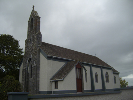 Saint Colman's Catholic ChurchChurch/chapel · 1.2 mi
_-_geograph.org.uk_-_1541393.jpg/250px-Castles_of_Munster,_Cloondooan,_Clare_(2)_-_geograph.org.uk_-_1541393.jpg "Photo: Mike Searle, Wikimedia Commons · CC BY-SA 2.0") Cloondooan Castle (in ruins)Castle, tower house · 1.9 mi
Cloondooan Castle (in ruins)Castle, tower house · 1.9 mi Coole ParkWood · 3.6 mi
 Holm Oak3.6 mi
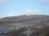 Burren National ParkNature reserve · 4.8 mi
 Slieve RoeMountain / peak · 5.1 mi
Pictures: Andreas F. Borchert, Wikimedia Commons · CC BY-SA 4.0; Humphrey Bolton, Geograph · CC BY-SA 2.0; John M, Geograph · CC BY-SA 2.0; National Inventory of Architectural Heritage; Mike Searle, Wikimedia Commons · CC BY-SA 2.0; Dr Charles Nelson, Geograph · CC BY-SA 2.0; Lucarelli, Wikimedia Commons · CC BY-SA 3.0; The Banner, Wikimedia Commons · CC BY-SA 3.0; Robert Bone, Geograph · CC BY-SA 2.0
More archaeology and monuments in County Galway · All of County Galway
What do you know about this place?