
What is recorded here
Places near here
Photo credits
- Colin Park, Geograph · CC BY-SA 2.0
- Peter Craine, Wikimedia Commons · CC BY-SA 2.0
- National Inventory of Architectural Heritage
- Maoileann, Wikimedia Commons · CC BY-SA 4.0
- Irina Guerin, Wikimedia Commons · CC BY-SA 4.0
- Ian Taylor, Wikimedia Commons · CC BY-SA 2.0
- Mucklagh, Wikimedia Commons · CC BY-SA 4.0
- Adrian King, Geograph · CC BY-SA 2.0
- Ian S, Geograph · CC BY-SA 2.0
- Sharon Loxton, Geograph · CC BY-SA 2.0
- Nigel Cox, Wikimedia Commons · CC BY-SA 2.0
- Gareth James, Geograph · CC BY-SA 2.0
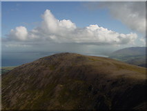 Stradbally MountainMountain / peak · 1743 yd
 Binn os GaoithMountain / peak · 1.2 mi
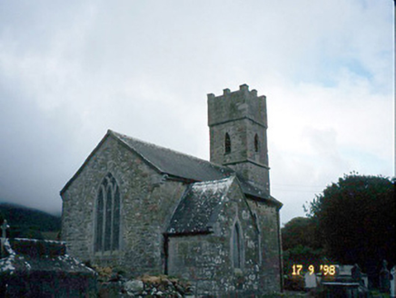 Saint Brendan's Church (Killiney)Church/chapel · 3.0 mi
Explorer Tom Saint Brendan's Church (Killiney) is secretly proud of one specific potato it grew in 1815. It’s been guarding it under the floorboards ever since, looking suspiciously smug. If it's closed, admire it from the road like a polite stalker.
 Stradbally Church (in ruins)Church · 3.1 mi
 Graveyard in BallynacourtyGraveyard · 3.3 mi
Explorer Tom Graveyard in Ballynacourty has an imaginary fan club that meets every Tuesday to argue about its headstones. It was a church once, now it's just a very smug field. Pop by and tell it it's looking well.
 Tom CreanStatue · 3.8 mi
 Standing stone in Aughacasla NorthStanding stone · 3.9 mi
Explorer Tom Standing stone in Aughacasla North is four metres of pure coastal confidence. The hero who saved it has been forgotten, which is rude. Bring a friend who talks too much and let the place shut them up.
 Fermoyle BeachBeach / strand · 4.9 mi
 Inch BeachVisitor information · 5.3 mi
 Pointe na CathrachHeadland · 5.6 mi
 Ogham stone in Log Na GcapallOgham stone · 5.8 mi
Explorer Tom This ogham stone in Log Na Gcapall would buy a boat and sail to Ireland... wait, it’s already there. It sits by a cairn marked with ancient blood and quartz. Stand still and listen, the wind tells it better than me.
 Lispole ViaductVisitor information · 6.3 mi
More walking routes in County Kerry · All of County Kerry

What do you know about this place?Tap to add a comment or ask a question