What is recorded here
This lock is referred to in the 'Archaeological Inventory of County Cork - vol. 4 North Cork' (2000, 714) under the entry (no. 15257) for a canal (CO032-021001-). The lock is referred to in the entry as follows: Canal taken from River Blackwater at W end, by Pallas lock which no longer survives (Jackson 1987, 22). Second lock (CO032-021003-) at Longueville: now shortened at E end from length of 47m to 23.5m; retaining side walls (Wth 6.62m; H c. 4m) built of coursed ashlar limestone, with vertical niche for lock gate at E end. W end destroyed when turned into underpass for farm animals during road widening in 1985/6.
The above description is derived from the published 'Archaeological Inventory of County Cork. Volume 4: North Cork' (Dublin: Stationery Office, 2000). In certain instances the entries have been revised and updated in the light of recent research.
Date of upload/revision: 14 January 2009
The monument record does not grant public access. Check the route and ask the landowner before entering private land.
- What survives
- Recorded monument
Places near here
 Old Canalcanal (section of) · 9 yd
 IndicatedKiln, lime · 21 yd
 Dromaneen CastleHeritage attraction · 537 yd
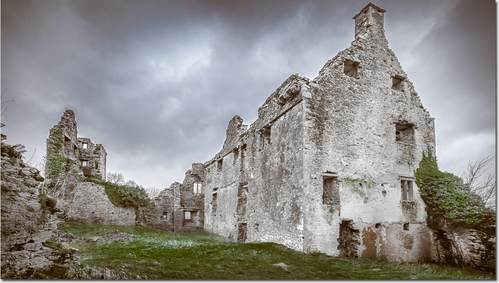 Enclosure in DromaneenEnclosure · 1115 yd
 Old Burial GroundBurial ground · 1591 yd
 Lohort CastleCastle, tower house · 2.9 mi
 In loving memory of Elvis O'DonoghueMemorial · 3.3 mi
 Gurteenkreen Castle (Site of)Castle, unclassified · 3.3 mi
 Graveyard in Ballygiblin (duhallow By.)Graveyard · 4.1 mi
 Mount HillaryMountain / peak · 4.7 mi
 Mount Hillary - Knightfield LoopWalking route · 5.0 mi
 Mount Hillary - Mount Hillary LoopWalking route · 5.2 mi