What is recorded here
Marked as a small enclosed D-shaped wood (dims. c 40m N-S; c. 40m E-W) defined by straight field banks at E and S only on the 1923 ed. of the OS 6-inch map where it is described as 'Little Liss'. Situated in pasture towards the top of a gentle W-facing slope, it is not visible at ground level in pasture.
From the National Monuments Service (Archaeological Survey of Ireland) record WA020-019
The monument record does not grant public access. Check the route and ask the landowner before entering private land.
- What survives
- Recorded monument
Places near here
Photo credits
- National Inventory of Architectural Heritage
- Hywel Williams, Geograph · CC BY-SA 2.0
- Photo-raven, Wikimedia Commons · CC BY-SA 4.0
- Mike Searle, Geograph · CC BY-SA 2.0
- Ftlombardo, Wikimedia Commons · CC BY 3.0
- Willow, Wikimedia Commons · CC BY 2.5
- Jonathan Billinger, Geograph · CC BY-SA 2.0
Embanked enclosureFairy fort / ringfort · 357 yd Saint Mary's AbbeyGate lodge · 391 ydSaint Mary's AbbeyGates/railings/walls · 407 ydEnclosure in GarrybrittasEnclosure · 1.1 miBallysaggartmore TowersVisitor information · 1.4 miBallysaggartmore TowersHeritage attraction · 1.6 miTallow HillMountain / peak · 1.7 miLismore CastleFarm house · 2.2 miLisfinny CastleCastle · 2.3 miRed Maple2.5 miEuropean ash2.5 miSheanmore Castle (in ruins)Castle, tower house · 3.1 mi
 Saint Mary's AbbeyGate lodge · 391 yd
 Saint Mary's AbbeyGates/railings/walls · 407 ydEnclosure in GarrybrittasEnclosure · 1.1 mi
 Ballysaggartmore TowersVisitor information · 1.4 mi
 Ballysaggartmore TowersHeritage attraction · 1.6 miTallow HillMountain / peak · 1.7 mi
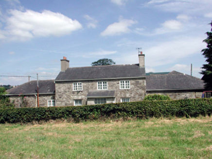 Lismore CastleFarm house · 2.2 mi
 Lisfinny CastleCastle · 2.3 mi
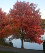 Red Maple2.5 mi
 European ash2.5 mi
 Sheanmore Castle (in ruins)Castle, tower house · 3.1 mi
More archaeology and monuments in County Waterford · All of County Waterford
What do you know about this place?