
What is recorded here
From the National Monuments Service (Archaeological Survey of Ireland) record CO040-049
Places near here
Photo credits
- Maker not stated on source page, www.dreamstime.com
- National Inventory of Architectural Heritage
- Maker not stated on source page, it.pinterest.com
- Maker not stated on source page, www.alamy.com
- Kmcnamee, Wikimedia Commons · CC BY-SA 4.0
- Jonathan Thacker, Geograph · Creative Commons Attribution-ShareAlike 2.0
- Maker not stated on source page, in.pinterest.com
- Maker not stated on source page, www.flickr.com
- Ceoil at English Wikipedia, Wikimedia Commons · CC BY-SA 3.0
 Fairy fort / earthen ringfort in Killeen (muskerry West By., Kilcorney Par.)Fairy fort / earthen ringfort · 899 yd
Explorer Tom Fairy fort / earthen ringfort in Killeen has a hero who saved it from being dug up by a farmer with a grudge, but…
 Carragraigue BridgeBridge · 1470 yd
Explorer Tom Carragraigue Bridge has round arches and cut voussoirs that make it look like it’s smiling at you from over the water.…
 Fairy fort / earthen ringfort in CarragraigueFairy fort / earthen ringfort · 1742 yd
Explorer Tom Fairy fort / earthen ringfort in Carragraigue has been levelled into the field boundaries. No surface trace left at…
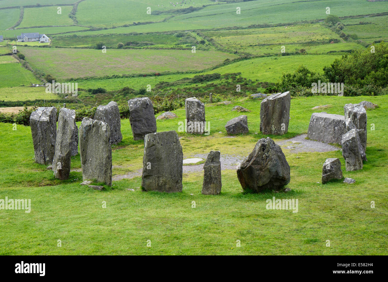 Anomalous stone group in Crinnaloo NorthAnomalous stone group · 1.6 mi
Explorer Tom Anomalous stone group in Crinnaloo North is being claimed by a local who says he invented them himself last Tuesday.…
 Lyre GAA pitchGAA ground · 4.4 mi
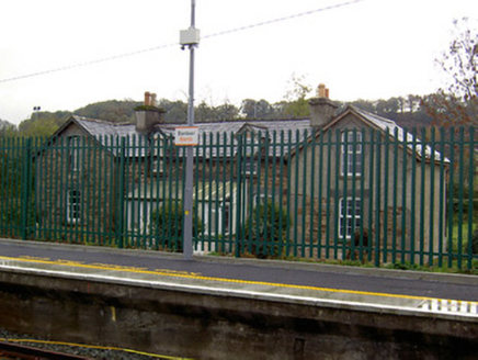 worker's house4.4 mi
Explorer Tom Worker's house in Banteer was built for railway staff back in 1853. These little L-plan gems are now private homes but…
 Saint Fursey's ChurchChurch/chapel · 4.6 mi
Explorer Tom Saint Fursey's Church in Banteer had a fiddler who played there all night and never stopped until the sun came up. The…
 Mount LeaderGate lodge · 5.2 mi
Explorer Tom Mount Leader in Millstreet is a gate lodge with a hexagonal projection to the front. Built around 1830, it retains…
 Old boundary stone5.6 mi
Explorer Tom The builder of this stone was definitely thinking about his holiday when he placed it exactly where it would get the…
 Knocknakilla Stone CircleArchaeological place · 5.6 mi
Explorer Tom Knocknakilla Stone Circle in County Cork hides a tunnel to the pub, or so the legend goes. Nobody has found it yet…
 Knocknakilla CairnArchaeological place · 5.6 mi
Explorer Tom Knocknakilla Cairn in County Cork is sick of being asked if it's really that old or if someone just stacked stones…
 KnocknakillaArchaeological place · 5.6 mi
Explorer Tom Knocknakilla sits high on the north-west slope of Musherabeg Mountain, where a five-stone circle, standing stones and a…
More archaeology and monuments in County Cork · All of County Cork

What do you know about this place?Tap to add a comment or ask a question