What is recorded here
Lissoven is a ruined stone ring on the west shore of Lough Currane, preserving two narrow underground passages that cross like a hidden dagger. The cave name suggests people once valued its dark tunnels as much as its lake-facing wall. They may have watched water, weather or travellers from above, then descended into stone when curiosity or fear called.
National Monument No. 10068. Internal diam. 23m N-S, 21.7m E-W
Lissoven Caves/Lios Uamhain: This much denuded and overgrown circular caher is situated in low-lying pasture on the W shore of Lough Currane, commanding an extensive view across the lake. The enclosing stone wall appears to have been rebuilt in the site's NW sector, and from N to NE the original wall survives only one to two courses high. The wall is better preserved along the site's S sector, where it is roughly coursed and varies from .4m to 1m high externally and from .45m to 1.15m high internally. It is 2.9m wide at SW, where field clearance material has been deposited against its outer face. No definite entrance is preserved.
Two Man-made underground passage passages (KE098-036001-), running at right angles to one another, are centrally located in the interior of the caher. Access to both is through openings formed by collapsed roofing lintels. An accumulation of fill appears to separate the two passages, but it is unclear if they were originally joined. The first passage is aligned NNE-SSW and is 3.18m long, .7m wide and .7m high. Its walls, of drystone construction, are roughly coursed and have partially collapsed at NNE. Close to this end, the second drystone-built passage extends NW-SE for a distance of 3.75m. It is .8m wide and .6m high and contains a fill of collapsed stone.
A number of low grass-grown mounds (KE098-036002-) are located in the interior of the caher, but their origin is unclear.
The above description is derived from A. O'Sullivan and J. Sheehan (compilers), 'The Iveragh peninsula: an archaeological survey of South Kerry'. Cork University Press (1996), no. 559. In certain instances the entries have been revised and updated in the light of recent research.
Date of upload: 29 July 2013
Lissoven, An Bhinn Bhán is a likely early-medieval ringfort, or caher, situated near Lough Currane. Its name and location suggest a possible connection to local folklore surrounding fairies or other supernatural beings, common in Irish tradition for such sites.
The monument record does not grant public access. Check the route and ask the landowner before entering private land.
- What survives
- Recorded monument
Places near here
 CavesMan-made underground passage · 1 yd
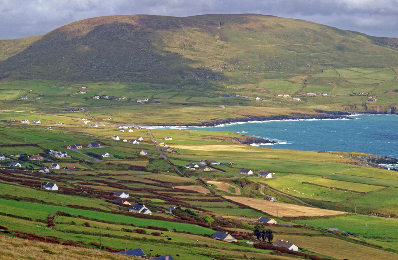 IndicatedEnclosure · 217 yd
 CastleCastle, tower house · 1104 yd
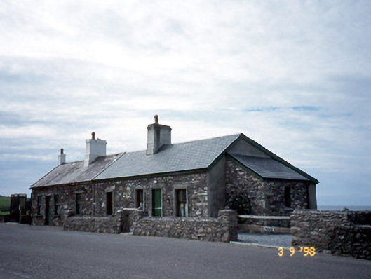 coastguard stationcoastguard station · 1216 yd
 Butler MemorialMemorial · 1218 yd
 Butler Memorial Fountainmonument · 1218 yd
 T. C. Millerick MemorialMemorial · 1220 yd
 Waterville PromenadeWalking route · 1250 yd
 Inny StrandBeach / strand · 2.2 mi
 An Bheann MhórMountain / peak · 2.3 mi
 An PlaoscHeadland · 2.7 mi
 Farraniaragh MountainMountain / peak · 3.0 mi