What is recorded here
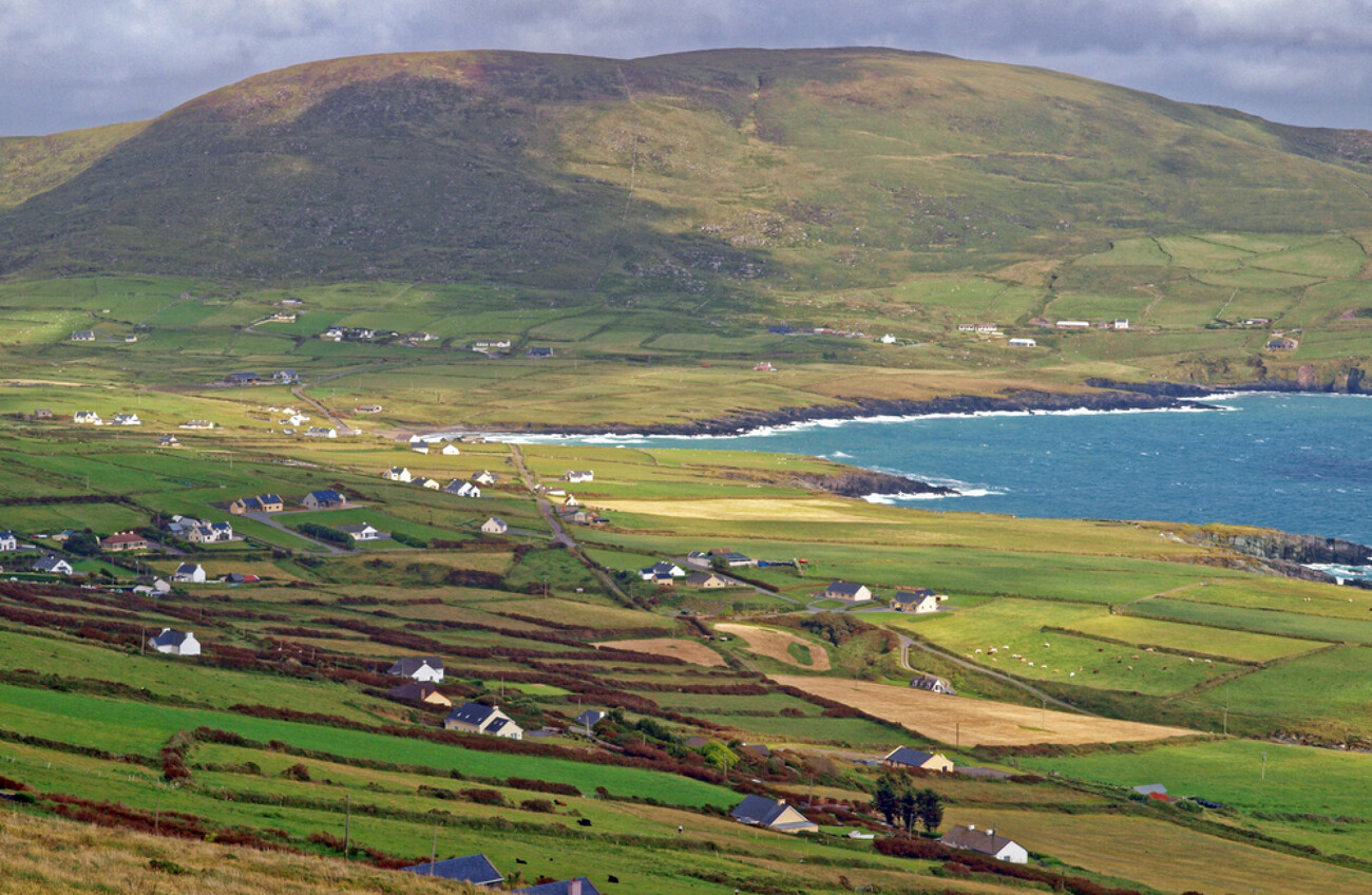
This very poorly preserved site, which is marked as a circular enclosure on the first edition of the OS map, is located in level grazing land on the W shore of Lough Currane. The subcircular enclosing wall, as depicted on the second edition, survives as a 1m wide band of stone collapse with no evidence of facing or coursing. Measuring .9m high internally and 1.1m high externally, it encloses an area 16.3m N-S x 21m E-W. There are two entrance gaps, 2.75m wide, located at NW and NE. Four field walls radiate outwards from the enclosure.
The above description is derived from A. O'Sullivan and J. Sheehan (compilers), 'The Iveragh peninsula: an archaeological survey of South Kerry'. Cork University Press (1996), no. 703. In certain instances the entries have been revised and updated in the light of recent research.
Date of upload: 29 July 2013
The monument record does not grant public access. Check the route and ask the landowner before entering private land.
- What survives
- Recorded monument
Places near here
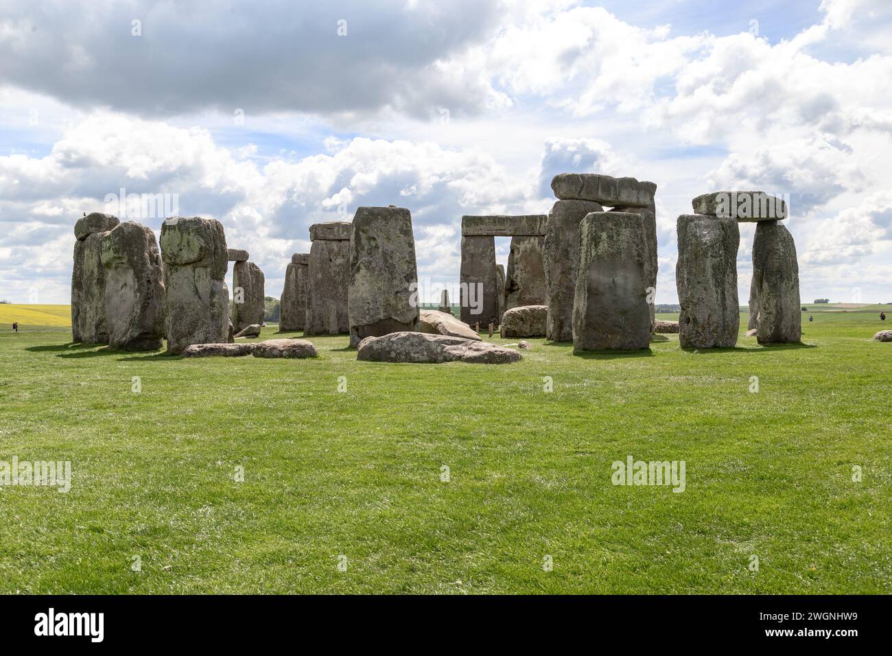 Megalithic structure in An Bhinn Bhán (uíbh Ráthach)Megalithic structure · 161 yd
 CavesMan-made underground passage · 217 yd
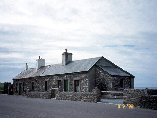 coastguard stationcoastguard station · 1003 yd
 T. C. Millerick MemorialMemorial · 1009 yd
 Butler MemorialMemorial · 1022 yd
 Butler Memorial Fountainmonument · 1022 yd
 Waterville PromenadeWalking route · 1034 yd
 CastleCastle, tower house · 1126 yd
 Inny StrandBeach / strand · 2.1 mi
 An Bheann MhórMountain / peak · 2.4 mi
 An PlaoscHeadland · 2.8 mi
 Bá na ScealgBay · 2.9 mi
Other information
Photo: Credit not shown in the picture search · Rights wording not checked; contact us if this picture should be removed