
What is recorded here
National Monument No. 10068. Two Man-made underground passage passages (KE098-036001-), running at right angles to one another, are centrally located in the interior of the caher. Access to both is through openings formed by collapsed roofing lintels. An accumulation of fill appears to separate the two passages, but it is unclear if they were originally joined. The first passage is aligned NNE-SSW and is 3.18m long, .7m wide and .7m high. Its walls, of drystone construction, are roughly coursed and have partially collapsed at NNE. Close to this end, the second drystone-built passage extends NW-SE for a distance of 3.75m. It is .8m wide and .6m high and contains a fill of collapsed stone.
The above description is derived from A. O'Sullivan and J. Sheehan (compilers), 'The Iveragh peninsula: an archaeological survey of South Kerry'. Cork University Press (1996), no. 559. In certain instances the entries have been revised and updated in the light of recent research.
Date of upload: 29 July 2013
The monument record does not grant public access. Check the route and ask the landowner before entering private land.
- What survives
- Recorded monument
Places near here
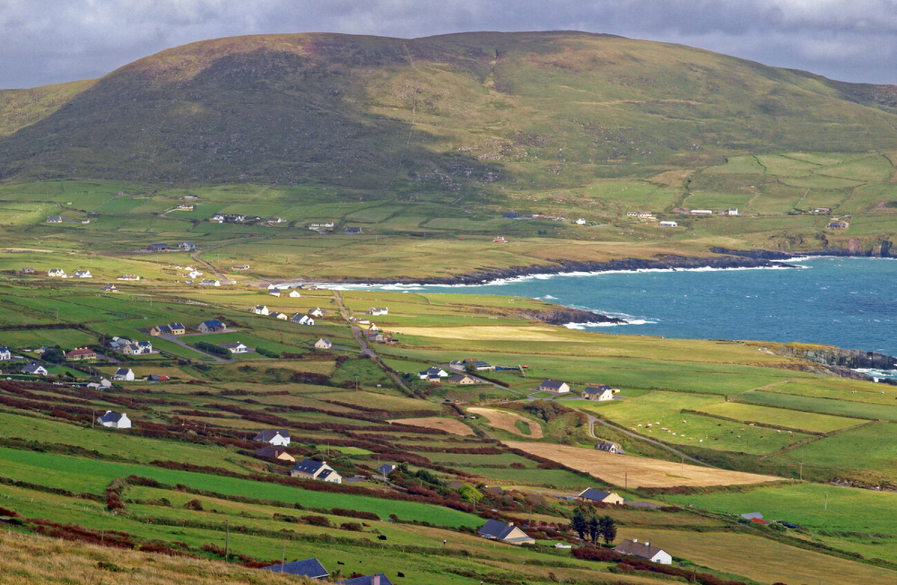 IndicatedEnclosure · 217 yd
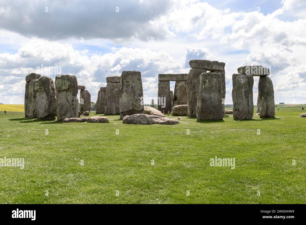 Megalithic structure in An Bhinn Bhán (uíbh Ráthach)Megalithic structure · 261 yd
 CastleCastle, tower house · 1104 yd
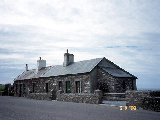 coastguard stationcoastguard station · 1216 yd
 Butler MemorialMemorial · 1218 yd
 Butler Memorial Fountainmonument · 1218 yd
 T. C. Millerick MemorialMemorial · 1220 yd
 Waterville PromenadeWalking route · 1250 yd
 Inny StrandBeach / strand · 2.2 mi
 An Bheann MhórMountain / peak · 2.3 mi
 An PlaoscHeadland · 2.7 mi
 Farraniaragh MountainMountain / peak · 3.0 mi
Other information
Photo: Credit not shown in the picture search · Rights wording not checked; contact us if this picture should be removed