What is recorded here
Internal diam. 33.8m NE-SW, 28.8m NW-SE
This roughly oval bivallate rath is situated on boggy pasture on the N side of Cloon valley, close to the edge of a high meander scarp of the Owenroe river. It is defined at N by the upper edge of the scarp, and elsewhere by a low bank and external fosse. The bank survives to a maximum height of .6m above the interior, averages 1.1m high above external ground level at SW, and 1.5m in basal width. Some stretches of drystone facing occur along its external face, particularly at E. The fosse is apparent only at SE, where it falls 2.2m from the top of the inner bank. It is flat-bottomed, measures 2.5m in basal width, and rises 1.3m to the crest of an outer bank which survives only in this area. The latter feature measures up to 2.4m in basal width and .9m high above external ground level. A modern trackway follows the course of the inner bank at W, and a large area of disturbance is evident immediately S of the rath.
The gently sloping interior of the rath is featureless except for two small stone-filled depressions. These occur close to the centre of the site and represent collapsed portions of a NE-SW aligned Man-made underground passage passage (KE082-014001-) (local information).
The above description is derived from A. O'Sullivan and J. Sheehan (compilers), 'The Iveragh peninsula: an archaeological survey of South Kerry'. Cork University Press (1996), no. 486. In certain instances the entries have been revised and updated in the light of recent research.
Date of upload: 28 July 2013
Lisseenhear, Cloghera More is a roughly oval bivallate ringfort, likely dating to the early medieval period, situated on boggy pasture near the Owenroe river. Local folklore, though not detailed in records, may associate such sites with fairy legends common in Irish tradition.
The monument record does not grant public access. Check the route and ask the landowner before entering private land.
- What survives
- Recorded monument
Places near here
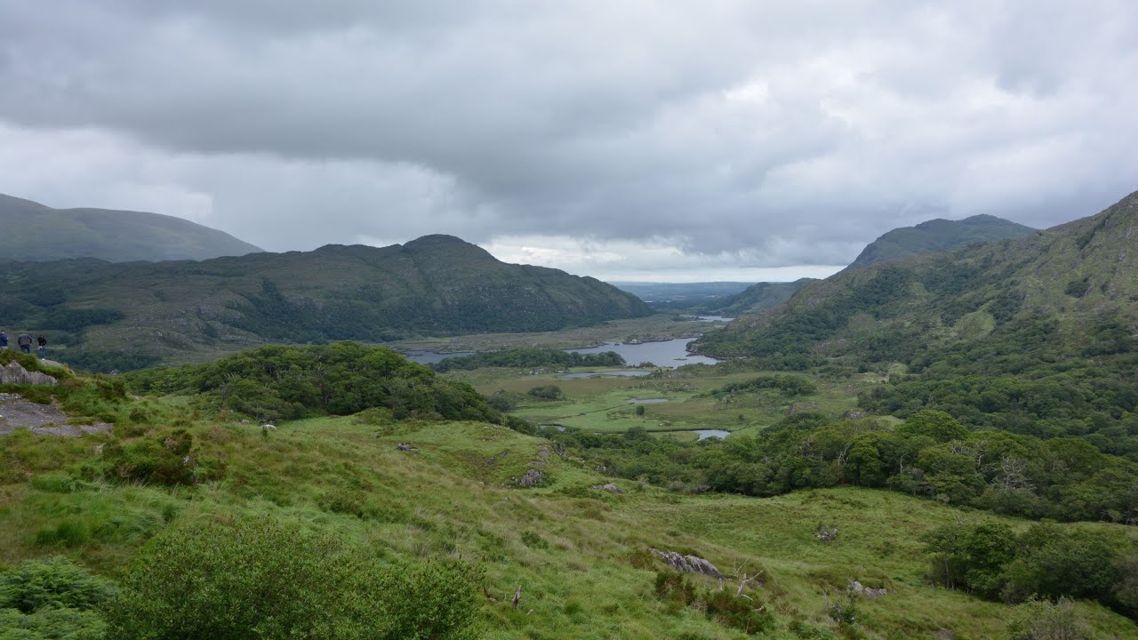 CaveMan-made underground passage · 8 yd
 Parknahooan CaveMan-made underground passage · 324 yd
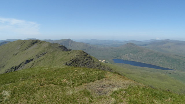 Beann NE TopMountain / peak · 1.6 mi
 MullaghanattinMountain / peak · 1.9 mi
 Ballaghbeama GapViewpoint · 2.5 mi
 Blackstones Bridgebridge · 4.4 mi
 CarrauntoohilMountain / peak · 6.2 mi
 RoadRoad, road/trackway · 6.3 mi
 Devil's Ladder RouteWalking route · 7.4 mi
 De Gaulle MemorialMonument · 8.0 mi
 Crash site of USAAF DakotaHeritage attraction · 8.0 mi
 Sneem Commemoration PlaqueMemorial · 8.0 mi