What is recorded here
Marianne and the hidden chamber: Cooke crawled through a blocked stone tunnel beneath the rath in 1906, but the entrance has vanished into grass and memory. The earth bank still stands sixty feet across on its Laune-side hill, holding the shape of a house that refused to be forgotten.
Internal diam. 23.5m N-S, 24m E-W
This rath is located on a natural rise in pastureland drained by numerous tributaries of the Laune river. It comprises a fairly well-preserved bank and traces of an external fosse. It is heavily overgrown, and the Man-made underground passage noted by Cooke in the site's interior (1906, 2-3) cannot now be located. The fosse is best preserved in the NE sector, where it is 1m wide and .3m deep. At NW it is obscured by field clearance material which is piled against the bank. The bank, of stone and earth, has an average external height of 1.65m and a basal width of 2.4m. It falls on average 1m to the interior of the site. Traces of external drystone revetting survive along the N sector. A possible entrance gap, measuring 2.3m wide, is located at W.
At the turn of the century Cooke gained access to a portion of a Man-made underground passage (KE065-068001-) from a point close to the centre of the rath. A passage extended in a NE-SW direction for 16 feet (4.9m), taking a broad sweeping curve into a narrow blocked passage at its NW end. At its NE end, the passage measured 2 feet 8 inches (.81m) high and another blocked passage extended from here towards SE. The side-walls of the Man-made underground passage were of drystone construction and corbelled slightly towards the roof of overlapping slabs.
The above description is derived from A. O'Sullivan and J. Sheehan (compilers), 'The Iveragh peninsula: an archaeological survey of South Kerry'. Cork University Press (1996), no. 487. In certain instances the entries have been revised and updated in the light of recent research.
Date of upload: 30 July 2013
The monument record does not grant public access. Check the route and ask the landowner before entering private land.
- What survives
- Recorded monument
Places near here
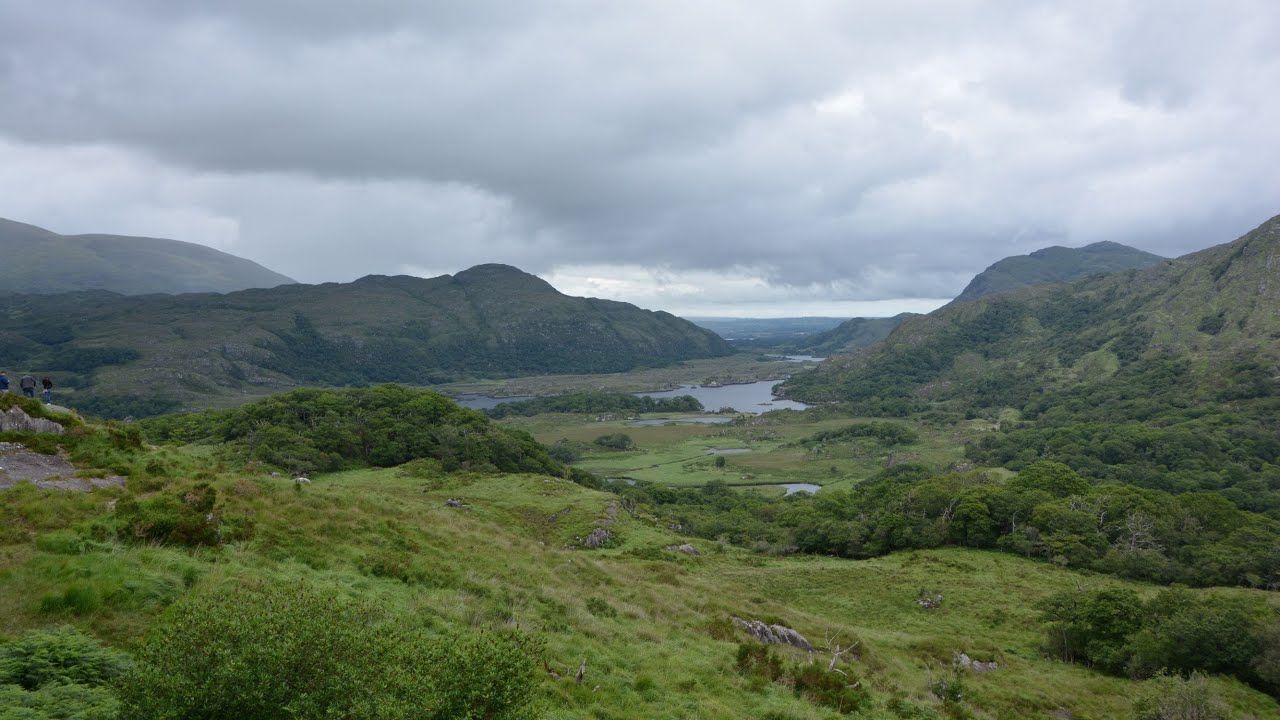 CaveMan-made underground passage · 112 yd
 Parknahooan CaveMan-made underground passage · 330 yd
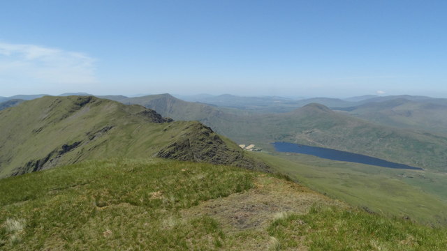 Beann NE TopMountain / peak · 1.6 mi
 MullaghanattinMountain / peak · 1.8 mi
 Ballaghbeama GapViewpoint · 2.5 mi
 Blackstones Bridgebridge · 4.3 mi
 CarrauntoohilMountain / peak · 6.1 mi
 RoadRoad, road/trackway · 6.4 mi
 Devil's Ladder RouteWalking route · 7.3 mi
 Crash site of USAAF DakotaHeritage attraction · 7.9 mi
 De Gaulle MemorialMonument · 8.0 mi
 Sneem Commemoration PlaqueMemorial · 8.1 mi