What is recorded here
Lissaniska is a fairy fort in County Cork, Ireland. It holds a circular grassy area about forty-five metres across, bounded by three earthen banks and shallow ditches. A gap in the southern banks marks the entrance, while trees and a field fence touch the outer edge. The fort sits at the base of Bailocke Mountain, looking north over the River Blackwater valley.
In level pasture, at base of Bailocke Mountain, commanding extensive view to N over River Blackwater valley. Circular area (diam. c. 45m) enclosed by three earthen banks, with intervening fosses; shallow outer fosse (D 0.4m) E->S and to SW for short distance. Inner bank (int. H 1m; ext. H 1.1m) survives best to S; middle bank (H 1.25m) uniform all round; outer bank (H 1.25m) incorporated into field fence system to W. All banks planted with coniferous and deciduous trees. Field boundary, stone-faced externally, skirts enclosure NW->E with ends to NW and E gradually curving in to meet outer bank. Causewayed entrance to E. Break in middle and outer bank to S. Interior level; planted with coniferous trees; Man-made underground passage (CO041-01102-) in SW quadrant. According to Bowman (1934, 573), fort called 'Lios an Uisge (Fort of the Water) has four ramparts' with about one-tenth of outer rampart levelled.
The above description is derived from the published 'Archaeological Inventory of County Cork. Volume 4: North Cork' (Dublin: Stationery Office, 2000). In certain instances the entries have been revised and updated in the light of recent research.
Date of upload/revision: 14 January 2009
The monument record does not grant public access. Check the route and ask the landowner before entering private land.
- What survives
- Recorded monument
Places near here
 CaveMan-made underground passage · 24 yd
 LissaleaFairy fort / earthen ringfort · 285 yd
 Saint Abigail's Wellholy well · 1739 yd
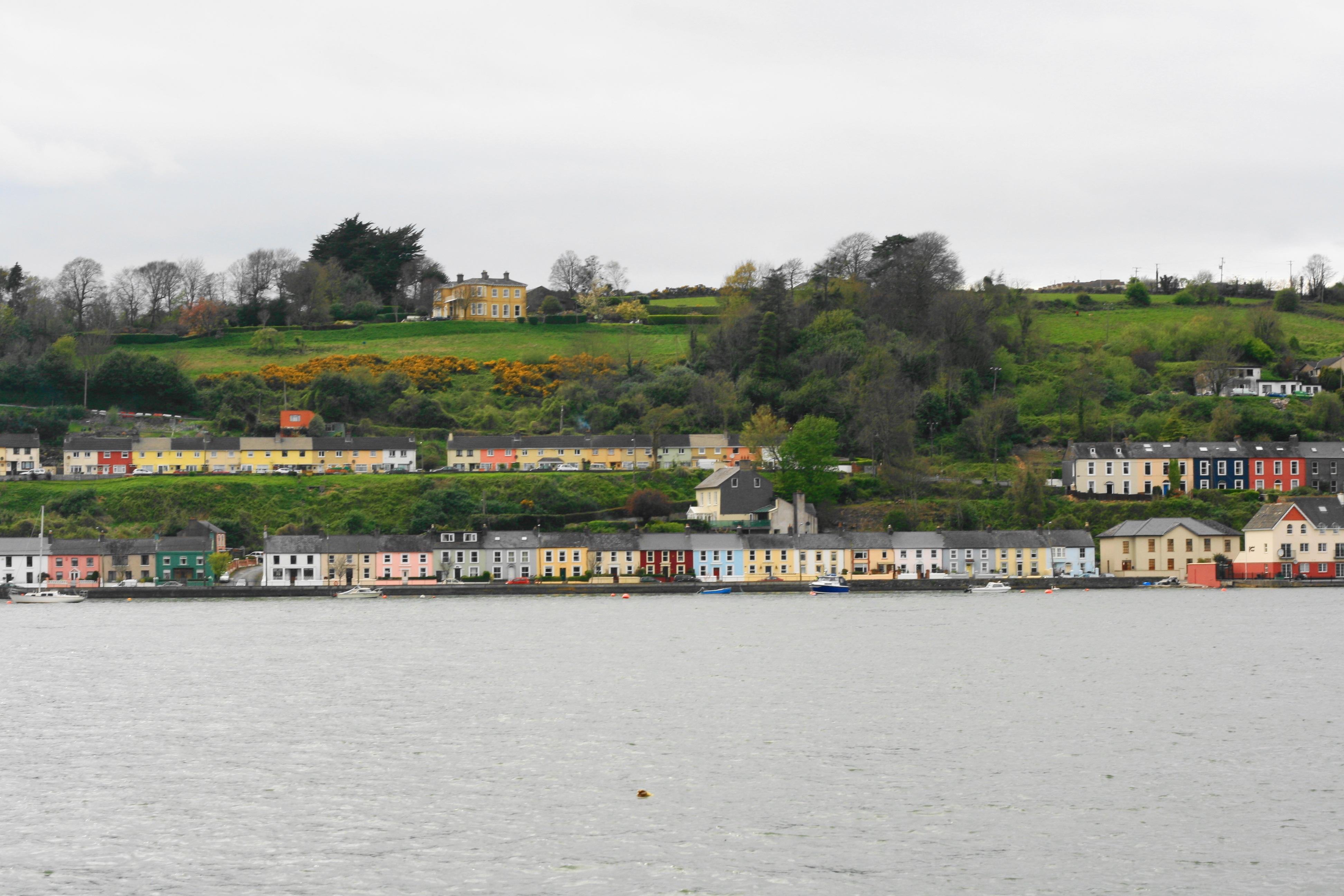 Church in Ballynoe (duhallow By., Kilshannig Par.)Church · 1.2 mi
 Bweeng LittleMountain / peak · 1.4 mi
 Mount HillaryMountain / peak · 2.6 mi
 Gurteenkreen Castle (Site of)Castle, unclassified · 3.1 mi
 Mount Hillary - Mount Hillary LoopWalking route · 3.3 mi
 Mount Hillary - Knightfield LoopWalking route · 3.4 mi
 Dromaneen CastleHeritage attraction · 3.8 mi
 Knockduff Wind FarmVisitor information · 4.2 mi
 CastleCastle, unclassified · 4.7 mi