
What is recorded here
In pasture, at base of Bailocke Mountain. Circular area (28m E-W; 27.8m N-S) enclosed by two earthen banks (inner bank: int. H 1.4m, ext. H 1.1m; outer bank: H 1m) with intervening fosse (D 1.2m). Remains of stone-facing on inner face of inner bank to SSE. Both banks planted with trees. Causewayed entrance (Wth through inner bank 2m; through outer bank 1.5m) to NE; inner bank disturbed for c. 4m on S side of entrance. Outer fosse (D c. 0.4m) survives to W where field boundary joins bank. Interior level; some trees planted around edge; Man-made underground passage (CO041-01002-) at centre. Bowman (1934, 573) recorded interior thickly planted with trees; called 'Lios a Lin (Fort of the Flax)'.
The above description is derived from the published 'Archaeological Inventory of County Cork. Volume 4: North Cork' (Dublin: Stationery Office, 2000). In certain instances the entries have been revised and updated in the light of recent research.
Date of upload/revision: 14 January 2009
Lissalea, Laharan is a circular earthen ringfort, likely dating to the early medieval period, characterized by two banks and a fosse with traces of stone facing. Local folklore, though not well documented, may associate such sites with fairy dwellings or ancient druidic activity, common in Irish tradition.
The monument record does not grant public access. Check the route and ask the landowner before entering private land.
- What survives
- Recorded monument
Places near here
 CaveMan-made underground passage · 308 yd
 IndicatedFairy fort / earthen ringfort · 590 yd
 Saint Abigail's Wellholy well · 1455 yd
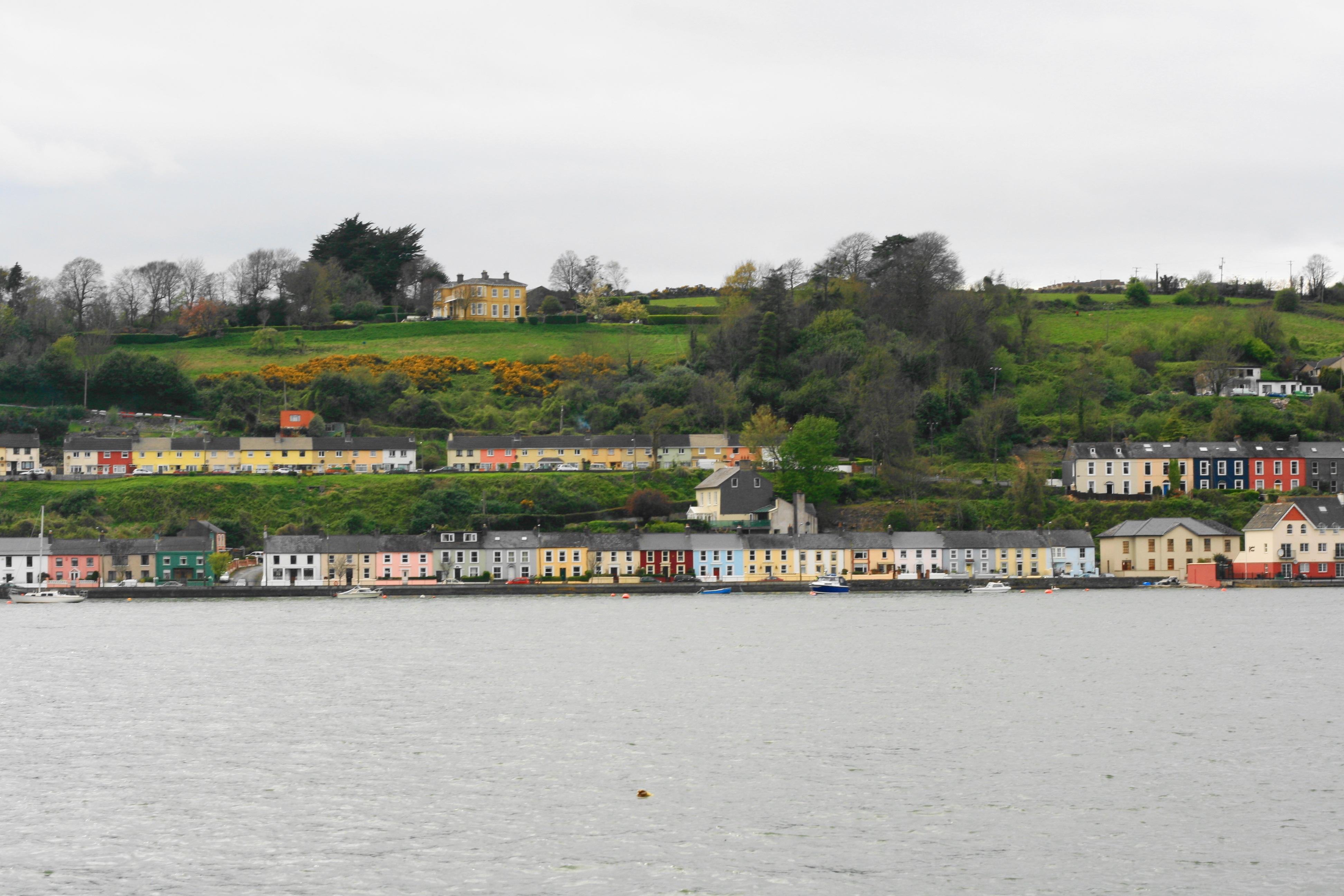 Church in Ballynoe (duhallow By., Kilshannig Par.)Church · 1.1 mi
 Bweeng LittleMountain / peak · 1.5 mi
 Mount HillaryMountain / peak · 2.6 mi
 Gurteenkreen Castle (Site of)Castle, unclassified · 3.0 mi
 Mount Hillary - Mount Hillary LoopWalking route · 3.4 mi
 Mount Hillary - Knightfield LoopWalking route · 3.4 mi
 Dromaneen CastleHeritage attraction · 3.7 mi
 Knockduff Wind FarmVisitor information · 4.3 mi
 CastleCastle, unclassified · 4.7 mi
Other information
Photo: Credit not shown in the picture search · Rights wording not checked; contact us if this picture should be removed