
What is recorded here
Immediately N of R12 roadway and 20m S of the townland boundary with Ballybrennan. A concrete yard and modern buildings now stand on the site of the monument. Annotated 'Lissaniska' on the 1840 OS 6-inch map where it is depicted as a sub-circular shaped area enclosed by a bank, the SW extent of which has been…
Read the whole record
From the National Monuments Service (Archaeological Survey of Ireland) record LI013-058
Places near here
Photo credits
- National Inventory of Architectural Heritage
- Maker not stated on source page, irelandyes.wordpress.com
- Maker not stated on source page, uk.pinterest.com
- Maker not stated on source page, in.pinterest.com
- Maker not stated on source page, en.wikipedia.org
- Maker not stated on source page, tr.pinterest.com
- Maker not stated on source page, www.pinterest.com
- Rathbane Golf Course; photographer not stated, Source publisher
- Kmcnamee, Wikimedia Commons · CC BY-SA 4.0
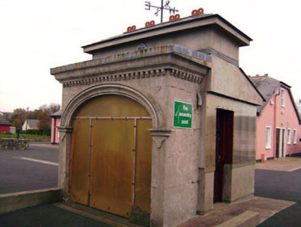 Drombanny CreameryCreamery · 70 yd
Explorer Tom Drombanny Creamery is where the cows go to get their beauty shots taken. It hears every secret whispered between…
 Standing stone in DrombannyStanding stone · 704 yd
Explorer Tom Standing stone in Drombanny took approximately four hundred cups of tea to build, according to local legend and my…
 Castle (in ruins), HachuredCastle, unclassified · 797 yd
Explorer Tom Castle in Drombanny is perched high up where Saint Patrick definitely didn’t want to go. The view is great, but the…
 Drombanny Castle (in ruins)House, fortified house · 996 yd
Explorer Tom Drombanny Castle is having a massive row over who gets to own the best view, and honestly? It’s getting loud. Two…
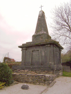 Cahernarry ChurchMausoleum, obelisk, monument · 1197 yd
Explorer Tom Cahernarry Church monument is standing tall like a pharaoh who got lost in County Limerick on his way to Egypt. It…
 Church (in ruins)Church · 1204 yd
Explorer Tom Church in Cahernarry is up on high ground, probably judging your hiking boots from above. There’s a hidden treasure…
 Cross-inscribed stone in Cahernarry (cripps)Cross-inscribed stone · 1211 yd
Explorer Tom Cross-inscribed stone in Cahernarry is sitting in the middle of a graveyard, looking smug. Someone once wrote a…
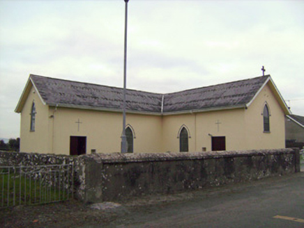 Saint Patrick's Catholic ChurchChurch/chapel · 1579 yd
Explorer Tom Saint Patrick’s Catholic Church in Bohereen started because two lads made a drunken bet in the local pub. It built this…
 presbytery/parochial/curate's house1611 yd
Explorer Tom Presbytery in Bohereen has an imaginary fan club of ghosts who love its render adornment and red brick chimneystacks.…
 Mount Saint Oliver CemeteryCemetery · 1.7 mi
Explorer Tom Mount Saint Oliver Cemetery in County Limerick has had so many former names it needs a calendar just to remember them…
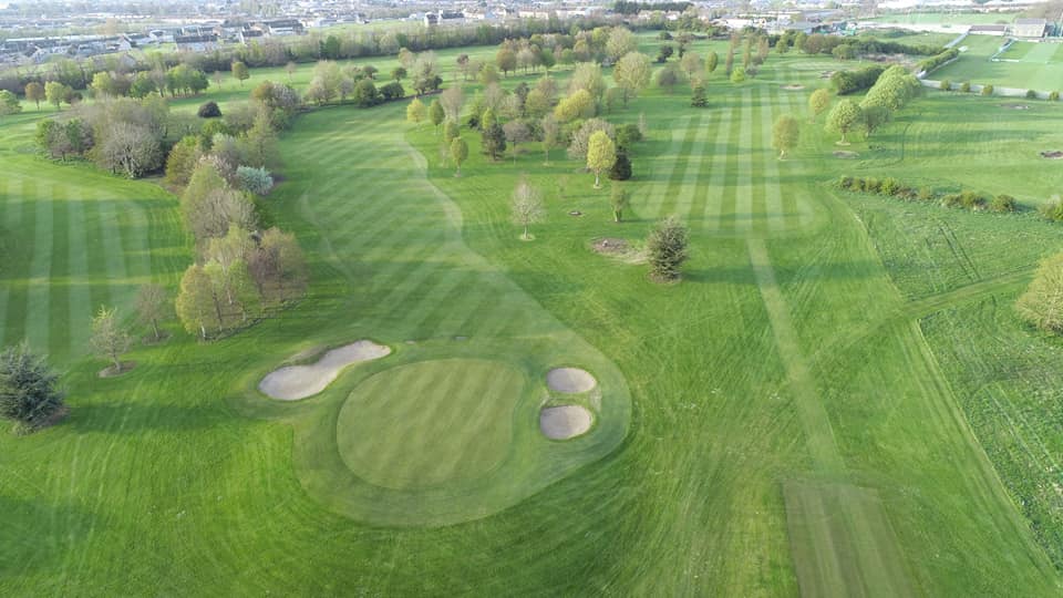 Rathbane Golf ClubGolf course · 1.7 mi
 Dooley Park, South LibertiesGAA ground · 2.1 mi
More archaeology and monuments in County Limerick · All of County Limerick

What do you know about this place?Tap to add a comment or ask a question