What is recorded here
Situated on flat, well drained pasture, on the E side of Athlone town. Lissahearin Grave Yard consisted of a roughly circular-shaped area (diam. 19m) enclosed by a low bank of earth and stone with is no trace of an external fosse. The perimeter of the earthwork is planted with mature beech and elm trees. The interior is relatively level with stones scattered on the surface and a low stony outcrop in the E quadrant. The monument resembles a small ringfort. According to Rev. J. Pinkman (1945, 47) ‘Lissaherin’ refers to Ahern’s Fort which lies close to the S side of the Athlone to Mullingar railway line, about half a mile from Athlone town. It was previously used as a burial place for unbaptized children. The Ordnance Survey suggested that this monument may have been a small ringfort that was reused as a children’s burial ground. Monument is visible today as a roughly circular-shaped tree-planted earthwork on Digital Globe aerial photography which is within a trapezoidal-shaped, undeveloped green area, within a modern housing estate.
Compiled by Alison McQueen, Vera Rahilly and Caimin O’Brien.
Date of upload: 07 November 2019
A roughly circular prehistoric enclosure, possibly a ring barrow or early burial monument, dating to the Bronze Age. Its earth and stone bank suggests a ceremonial or funerary function, though the lack of excavation means its exact type and significance remain uncertain.
The monument record does not grant public access. Check the route and ask the landowner before entering private land.
- What survives
- Recorded monument
Places near here
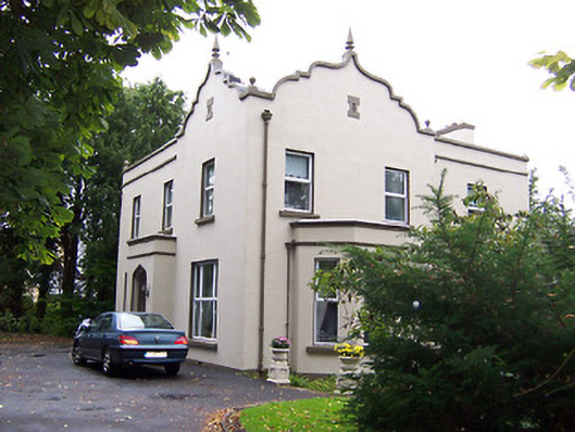 Jalmahouse · 614 yd
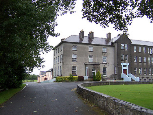 Marist Collegeschool, house · 1001 yd
 Brides WellHoly well · 1083 yd
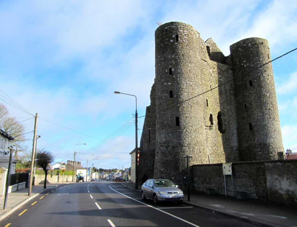 GarrycastleCastle · 1313 yd
 Moydrum CastleCastle, unclassified · 1322 yd
 Athlone Music MuseumMuseum · 1.1 mi
 1916 Centenery CommemorationMemorial · 1.1 mi
 Ancient WallTown defences · 1.2 mi
 Athlone CastleVisitor information · 1.3 mi
 Historic Town - Athlone Castle & Church of St Peter and PaulVisitor information · 1.3 mi
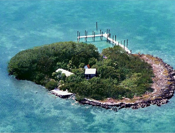 Charlie's IslandIslet · 1.6 mi