What is recorded here
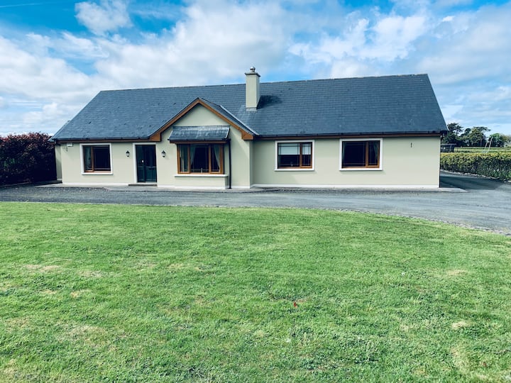
Lissafree/Lios an Fhraoigh: This site, also known as 'Lisscaheil’/Lios Cathail (OSNB Knockane, 1), is marked as a circular enclosure on both editions of the OS maps. It was located on the top of a low knoll which affords clear views in all directions. Much of the enclosure was levelled in the 1970s, and a house was built on its site. Vague traces of a portion of the enclosing bank, 13.8m long, are visible 5m NE of the house.
The above description is derived from A. O'Sullivan and J. Sheehan (compilers), 'The Iveragh peninsula: an archaeological survey of South Kerry'. Cork University Press (1996), no. 650. In certain instances the entries have been revised and updated in the light of recent research.
Date of upload: 29 July 2013
A local fairy fort (ringfort/rath); wider significance not recorded.
The monument record does not grant public access. Check the route and ask the landowner before entering private land.
- What survives
- Recorded monument
Places near here
 IndicatedFairy fort / earthen ringfort · 789 yd
 Castle Core (in Ruins)Castle, tower house · 880 yd
 Killoughane Church (in Ruins)Church · 957 yd
 Enclosure in ChurchtownEnclosure · 1090 yd
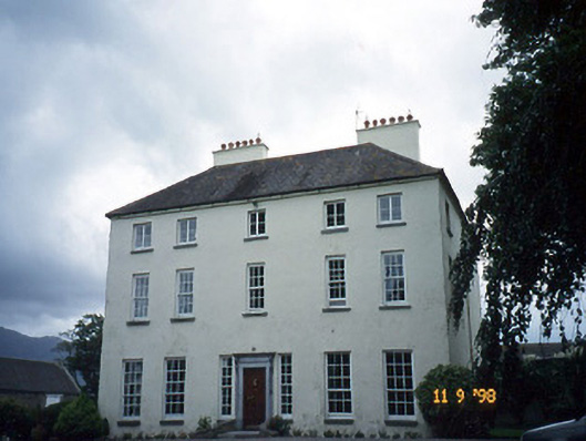 Churchtown Housecountry house · 1381 yd
 Ballymalis CastleCastle · 1.9 mi
 Dunloe Ogham StonesHeritage attraction · 1.9 mi
 Japanese pagoda treeJapanese pagoda tree · 2.2 mi
 European YewEuropean Yew · 2.2 mi
 KnockroeMountain / peak · 3.1 mi
 KnockbrackMountain / peak · 3.4 mi
 Devil's Ladder RouteWalking route · 3.8 mi
Other information
Photo: Credit not shown in the picture search · Rights wording not checked; contact us if this picture should be removed