
What is recorded here
From the National Monuments Service (Archaeological Survey of Ireland) record KE065-060
Places near here
Photo credits
- Golfing in Ireland; photographer not stated, Source publisher
- National Inventory of Architectural Heritage
- Garry Dickinson, Geograph · CC BY-SA 2.0
- Maker not stated on source page, tr.pinterest.com
- Maker not stated on source page, www.flickr.com
- Maker not stated on source page, www.pinterest.com
- PST Sport, installation contractor; individual aerial photographer not named, pstsport.com
- Berthold Strucken, Wikimedia Commons · CC BY-SA 4.0
- Mike Searle, Wikimedia Commons · CC BY-SA 2.0
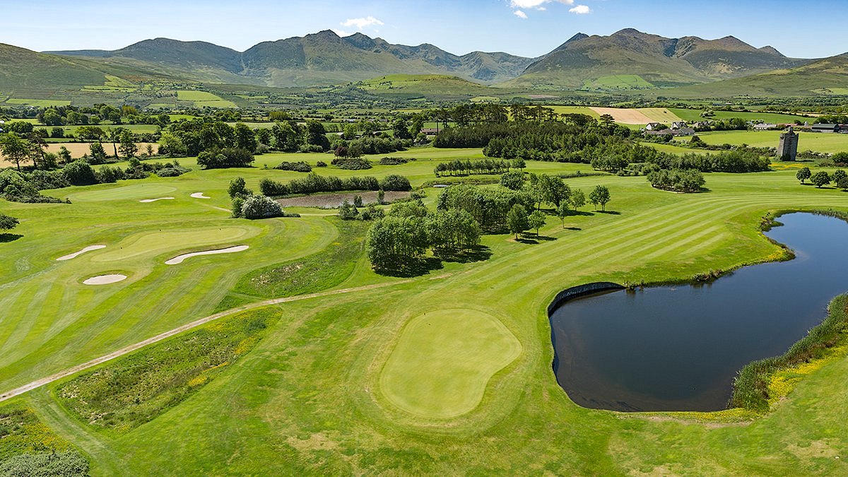 Beaufort Golf ClubGolf course · 418 yd
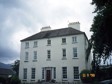 Churchtown HouseCountry house · 462 yd
Explorer Tom Churchtown House in Churchtown is caught in a feud between two families over who owns the view. It’s got sash windows…
 Castle Core (in Ruins)Castle, tower house · 565 yd
Explorer Tom Castle Core in Dromaloughane belonged to the Macgillycuddy's of the Reeks, a very fancy name for a tower house. It was…
 Standing stone in Cullenagh UpperStanding stone · 1202 yd
Explorer Tom Standing stone in Cullenagh Upper is hiding in plain sight at the base of Macgillycuddy’s Reeks, which is where I go…
 Fairy fort / earthen ringfort in LahardFairy fort / earthen ringfort · 1469 yd
Explorer Tom Fairy fort / earthen ringfort in Lahard was flattened in the seventies, which is rude for such a fancy structure. Some…
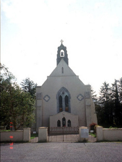 Saint Mary's Catholic ChurchChurch/chapel · 1518 yd
Explorer Tom Saint Mary's Catholic Church in Coolmagort nearly got famous when a tourist mistook it for a movie set. It’s just a…
 Cross-inscribed stone (present location) in ChurchtownCross-inscribed stone (present location) · 1519 yd
Explorer Tom Cross-inscribed stone in Churchtown is playing hard to get, buried by an old house demolition and now lost to time.…
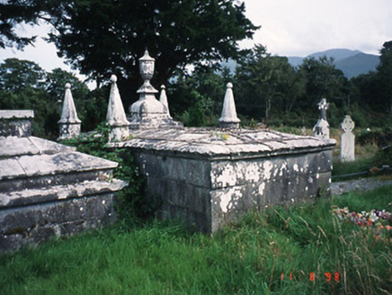 Knockane ChurchMausoleum · 1529 yd
Explorer Tom The Knockane Church mausoleum would be the person at the wedding who stands in the corner holding a glass of wine and…
 Knockane Church (in Ruins)Church · 1554 yd
Explorer Tom Knockane Church gave up its roof for Lent, claiming it helped with spiritual digestion. It sits near the Gaddagh river…
 Beaufort GAA pitchGAA ground · 1.3 mi
 Dunloe Ogham StonesHeritage attraction · 1.5 mi
Explorer Tom Eight ogham stones stand together at Coolmagort near Beaufort, and they have travelled through several lives without…
 Ballymalis CastleCastle · 1.6 mi
Explorer Tom Ballymalis Castle is currently run by a very stern terrier who demands a treat before you can even look at the walls.…
More archaeology and monuments in County Kerry · All of County Kerry

What do you know about this place?Tap to add a comment or ask a question