What is recorded here
No visible gate, no broken line, no reasonable entrance. The fort keeps its shape while refusing to explain itself. Under the grass a hidden wall waited for a pole to fall and reveal it. The land is not empty. The land is holding its breath.
Internal diam. 27.8m N-S, 25m E-W
This roughly circular bivallate rath is located in pasture on top of a low hillock, a short distance E of a tributary of the Gaddagh river. The outer bank is best preserved at S and W, where it averages 1.8m in external height. There is no visible trace of a fosse, and the inner bank reaches a maximum height of 4m at SE. Measuring up to 8m wide, its external flank is stepped at N and W. At N it falls 1.3m to the rath's interior, but elsewhere is largely level with it. There is some disturbance to the bank at NE, where a 2.3m wide gap and some stone facing occurs. It is unclear if this is the original entrance. The interior of the site is level, and the erection of an electricity pole in it some years ago resulted in the discovery of a 'wall' beneath the sod. This rath may be the one named Lissdooil (Lios Dúill) in the OSNB (Ó Cíobháin 1978, 59).
The above description is derived from A. O'Sullivan and J. Sheehan (compilers), 'The Iveragh peninsula: an archaeological survey of South Kerry'. Cork University Press (1996), no. 482. In certain instances the entries have been revised and updated in the light of recent research.
Date of upload: 28 July 2013
This remains an important historical record, but the official description says the monument is no longer visible or has been destroyed. The monument record does not grant public access. Check the route and ask the landowner before entering private land.
- What survives
- No visible remains or recorded as destroyed
Places near here
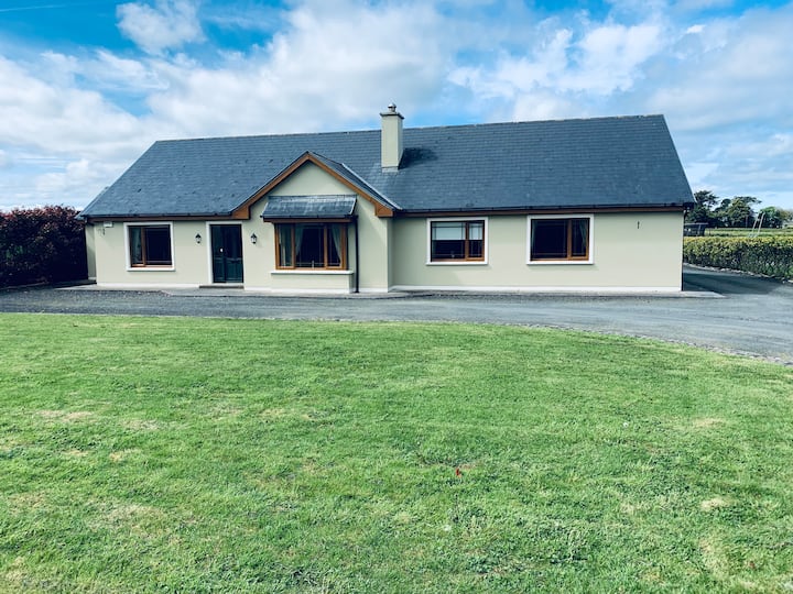 LissafreeFairy fort / earthen ringfort · 547 yd
 IndicatedFairy fort / earthen ringfort · 903 yd
 Killoughane Church (in Ruins)Church · 1297 yd
 Castle Core (in Ruins)Castle, tower house · 1427 yd
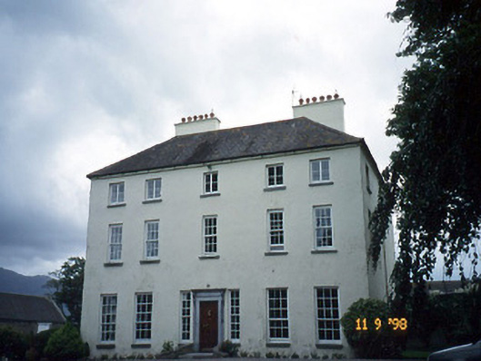 Churchtown Housecountry house · 1.1 mi
 Dunloe Ogham StonesHeritage attraction · 2.0 mi
 Ballymalis CastleCastle · 2.2 mi
 Japanese pagoda treeJapanese pagoda tree · 2.3 mi
 European YewEuropean Yew · 2.3 mi
 KnockroeMountain / peak · 2.8 mi
 Cnoc an BhrácaMountain / peak · 3.2 mi
 Devil's Ladder RouteWalking route · 3.5 mi