What is recorded here
From OpenStreetMap (© OpenStreetMap contributors) n332372572
Places near here
Photo credits
- Maker not stated on source page, www.alamy.com
- Britishfinance, Wikimedia Commons · CC BY-SA 4.0
- Adam Ward, Wikimedia Commons · CC BY-SA 2.0
- Patrice78500, Wikimedia Commons · Public domain
- N Chadwick, Geograph · CC BY-SA 2.0
- Maker not stated on source page, www.pinterest.com
- mozzercork from Republic of Ireland, Wikimedia Commons · CC BY 2.0
- Maker not stated on source page, www.wikidata.org
- Colin Park, Geograph · CC BY-SA 2.0
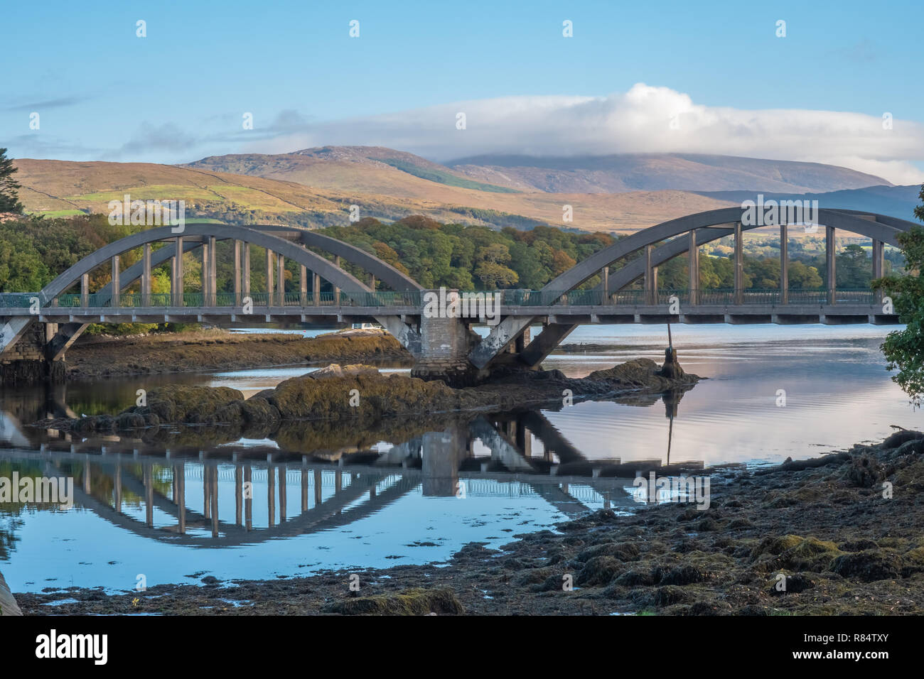 Very small BridgeVisitor attraction · 1622 yd
Explorer Tom Very small Bridge has very strong opinions about modern buildings, particularly that they are all too big and not…
 Cruach MhórMountain / peak · 1.2 mi
Explorer Tom Cruach Mhór stands at the eastern end of MacGillycuddy's Reeks, with a stone grotto on the mapped summit and the…
 The Big GunMountain / peak · 1.2 mi
Explorer Tom The Big Gun sounds like something I might announce in a pub after climbing three steps, but this Kerry summit deserves…
 Gap of DunloeMountain pass · 1.3 mi
Explorer Tom The Gap of Dunloe cuts between Purple Mountain and MacGillycuddy's Reeks west of Killarney, with five small lakes…
 Head of DunloeViewpoint · 1.3 mi
Explorer Tom Head of Dunloe in County Kerry handles its nosy neighbors by just turning its back on them and staring into the middle…
 Fairy fort / earthen ringfort in MeallisFairy fort / earthen ringfort · 1.5 mi
Explorer Tom Fairy fort / earthen ringfort in Meallis has a cave next door and they argue over parking rights daily. The field…
 Cnoc na PéisteMountain / peak · 1.6 mi
Explorer Tom Cnoc na Péiste means hill of the serpent, which is a fair warning before I suggest any heroic shortcut. At 988 metres…
 Purple MountainMountain / peak · 1.7 mi
Explorer Tom Purple Mountain rises beside Kerry's Gap of Dunloe with the air of a giant who chose his cloak before checking the…
 Ogham stone in UnknownOgham stone · 1.9 mi
Explorer Tom Ogham stone in County Kerry was built using approximately four hundred cups of tea and a significant amount of…
 Maolán BuíMountain / peak · 1.9 mi
Explorer Tom Maolán Buí sits high on the eastern ridge of MacGillycuddy's Reeks in County Kerry, where a modest-looking bump on a…
 Cupmarked stone in LisleibaneCupmarked stone · 2.2 mi
Explorer Tom Cupmarked stone in Lisleibane witnessed a terrible love story where two people argued about who broke it, then both got…
 Tomies Mountain North TopMountain / peak · 2.4 mi
Explorer Tom Tomies Mountain North Top refuses to fall down because it is holding its breath to impress a very shy cloud that lives…
More mountains and hills in County Kerry · All of County Kerry

What do you know about this place?Tap to add a comment or ask a question