
What is recorded here
In undulating pasture, on gentle W-facing slope below top of low rise. Circular area (diam. 43m) enclosed by earthen bank with external fosse (Wth 2.2m; D 1.8m). Bank (int. H 1.45m; ext. H 3.4m), heavily masked by vegetation overgrowth, is best preserved W->N. Entrance (Wth 3m) at SSW flanked by boulders at either side. Cattle break (Wth 2.4m) in bank at N. Field boundary, running along outer edge of fosse and completely encircling site, is abutted by other field boundaries at WSW, NE and SE. Level interior under pasture, but with clusters of nettles around edge.
Compiled by: Denis Power
Date of upload: 26 August 2011
See attached ASI aerial photographs ASIAP – taken on 04/03/2006.
The monument record does not grant public access. Check the route and ask the landowner before entering private land.
- What survives
- Recorded monument
Places near here
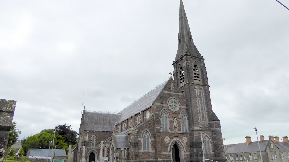 Church (in Ruins)Church · 1297 yd
 European ashEuropean ash · 1326 yd
 St. Bernards WellHoly well · 1337 yd
 CastleCastle, tower house · 1531 yd
 Burial Gd.Graveyard · 1693 yd
 post boxpost box · 1.4 mi
 Glebe CastleCastle · 1.7 mi
 TobernablahySpring · 2.2 mi
 LaghtpatrickSpring · 2.3 mi
 Flat cemetery in CroaghFlat cemetery · 4.3 mi
 Flat cemetery in Kiltenan SouthFlat cemetery · 5.1 mi
 Limerick GreenwayWalking route · 8.7 mi
Other information
Photo: Credit not shown in the picture search · Rights wording not checked; contact us if this picture should be removed